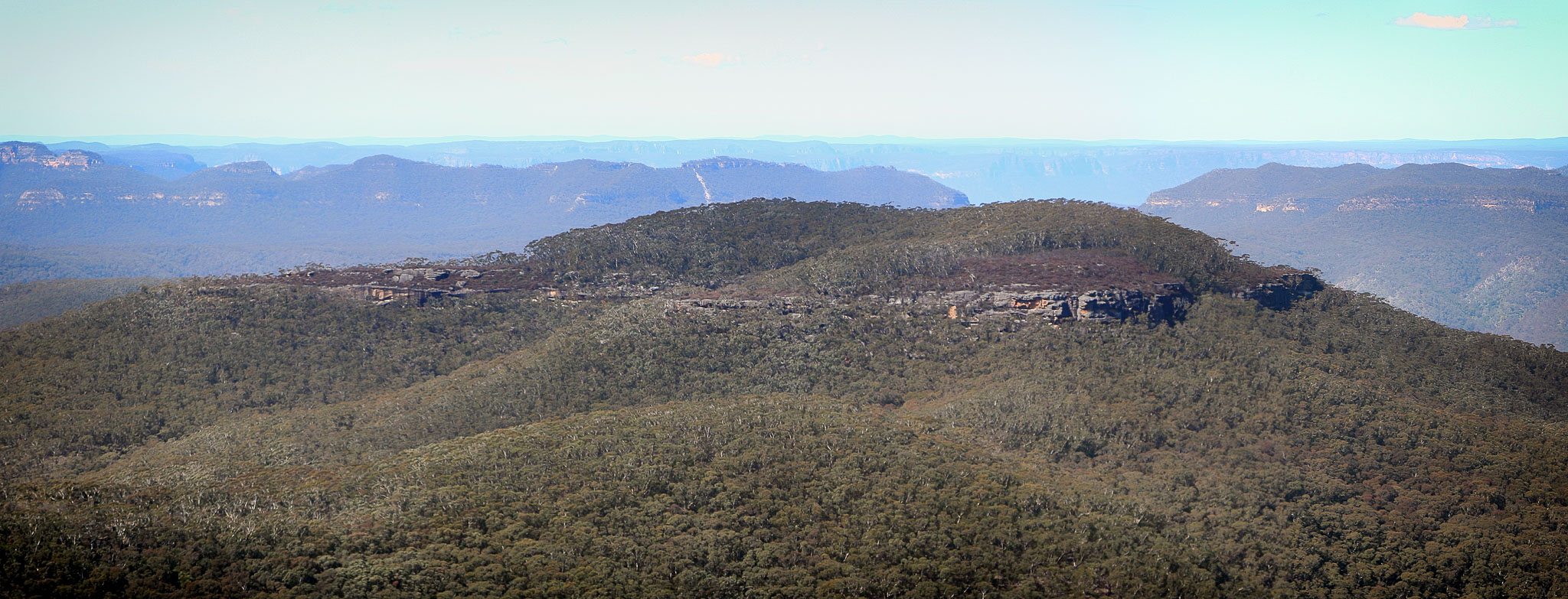
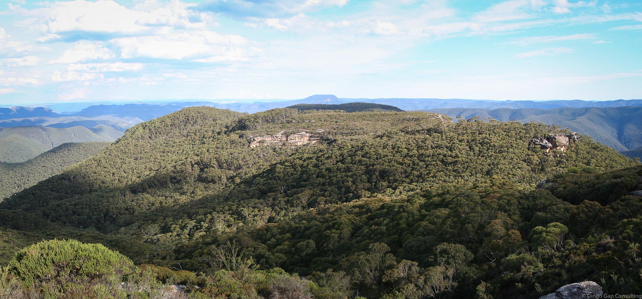
Colboyd Ridge
Colboyd Ridge runs from the foot of the cliffs below Pindari Top, south for about 3.25 kilometres and then south-east for another 3 kilometres to the junction of Christys and Arabanoo Creeks.
A walk down the ridge passes Mt Bulgin, Mt Colboyd and crosses Mt Arabanoo, Mt Tonsure, Arabanoo Peak and Stonehag Hill.
Giant Stinging Trees are growing just below the Mt Tonsure Summit.
There are some excellent view along the way.
• Colboyd - Kowmung - Bullhead Loop
Kowmung (Dunphy)
Yerranderie 8929-4N
1010 - 270 metres
Ridge
Kanangra-Boyd National Park (NSW)
Tartarus
Westmoreland
Last Updated: 11-06-2021