Paddys Mountain
Paddys Mountain is the name used by Airly locals for the mesa between Gap Creek and Genowlan Creek. The name is shown on a sketch map drawn in 1984 for the Cowie family reunion.
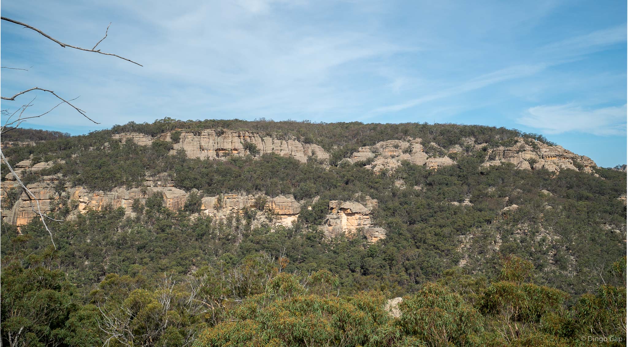
There are several routes onto Padday Mountain. Bushwalkers can walk up from Gap Creek past Airly Turret or use the route through Jackass Gap. The beautiful Ladders Defile canyon allows access through the cliffs on the eastern side. There are a few other wilder routes as well but you have to work to find them.
There is 4WD access via Pappys Pass but it can be a tough slog.
Paddys Mountain has been mined, on and off, as long as the area has been settled. There are some very old mine adits and the relics of more recent gold and diamond mining. Mining is an important part of the area's history.
Much of Paddys Mountain is bordered by big cliffs, many topped by gorgeous pagodas.
Glen Alice 8931-4N
247 330
1031 metres
Mesa
Mugii Murum-ban SCA (NSW)
Airly
Roxburgh