Mugii Murum-ban SCA
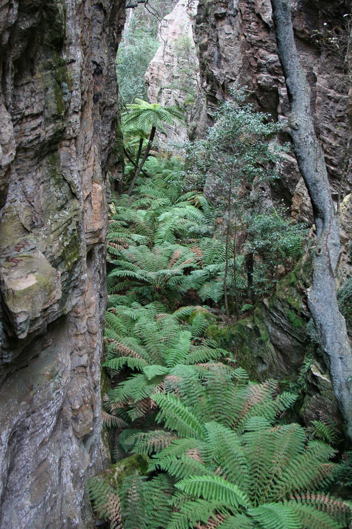
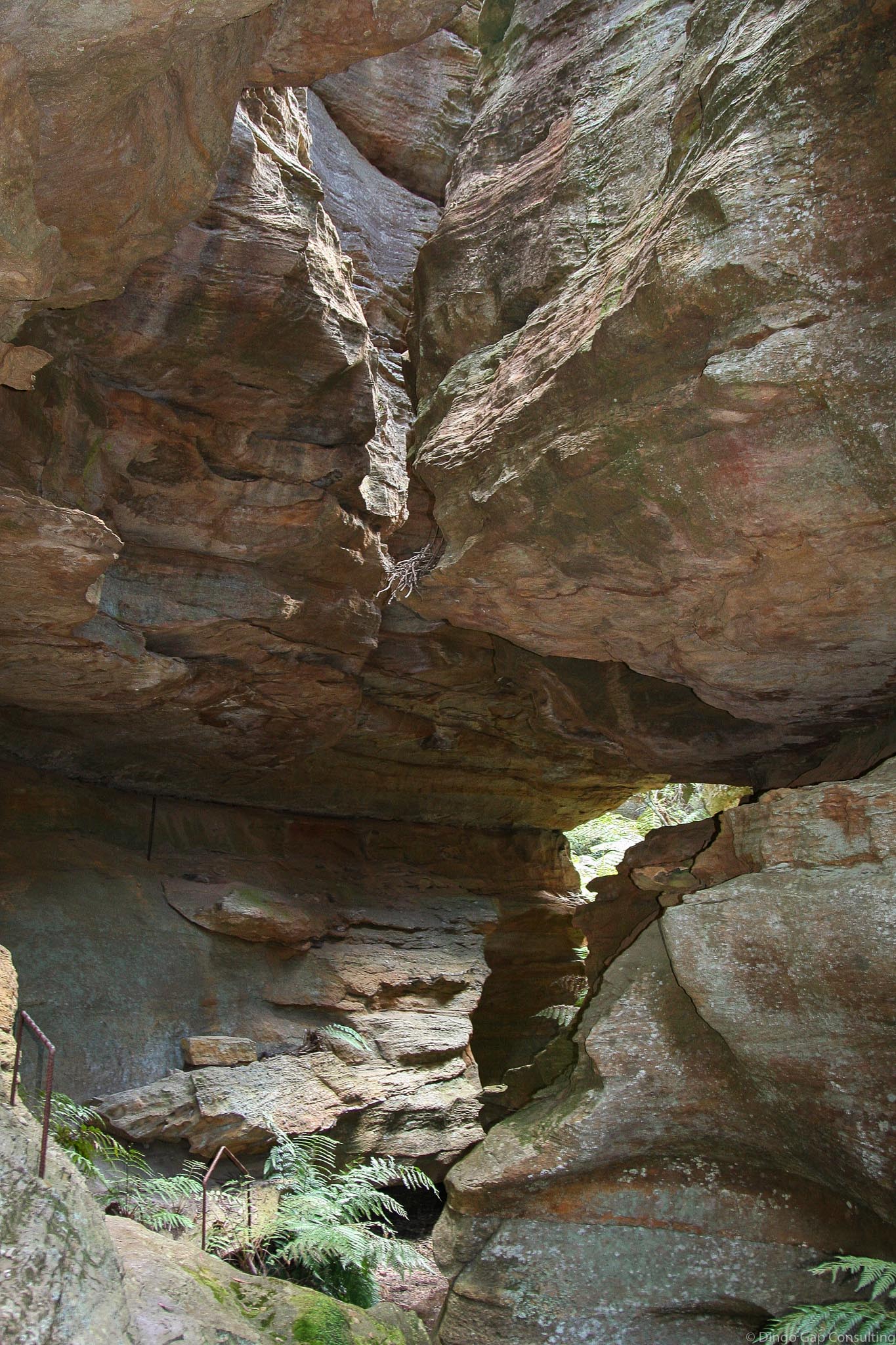
Mugii Murum-ban is a State Conservation Area just east of Capertee, supposed to protect the significant pagoda landforms, slot canyons, endangered plants and birds and historical mining relics.
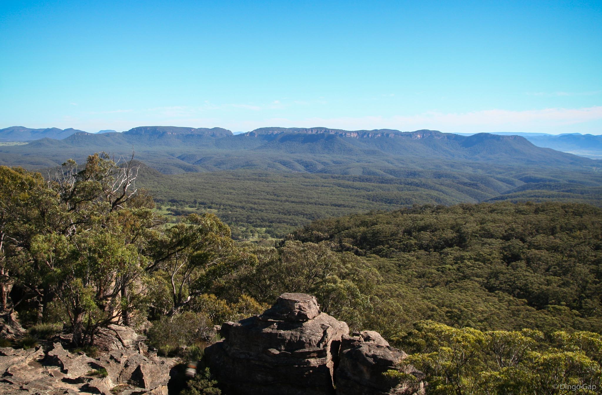
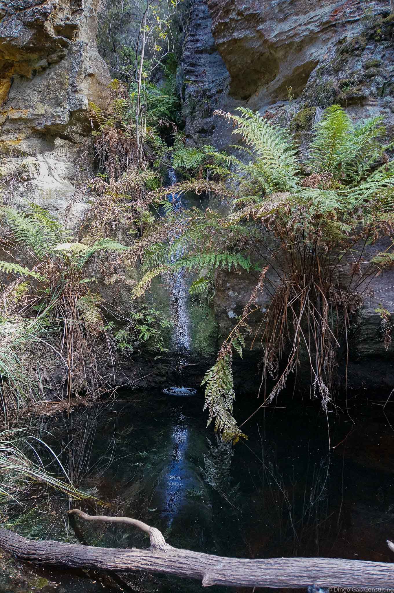
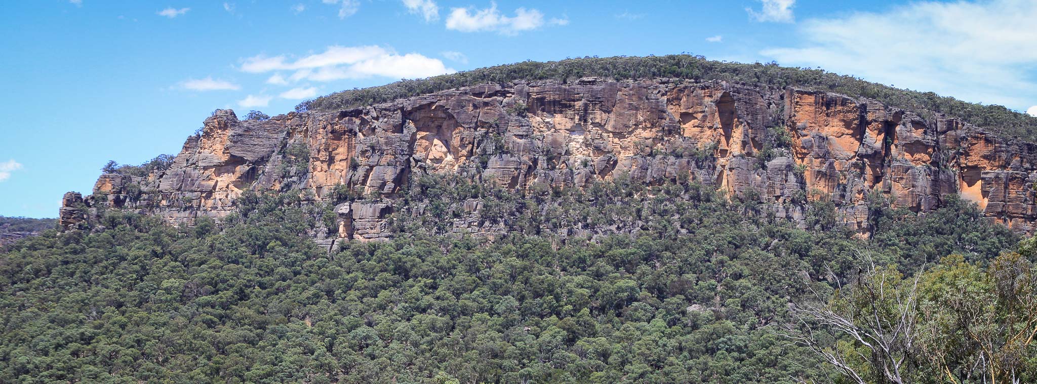
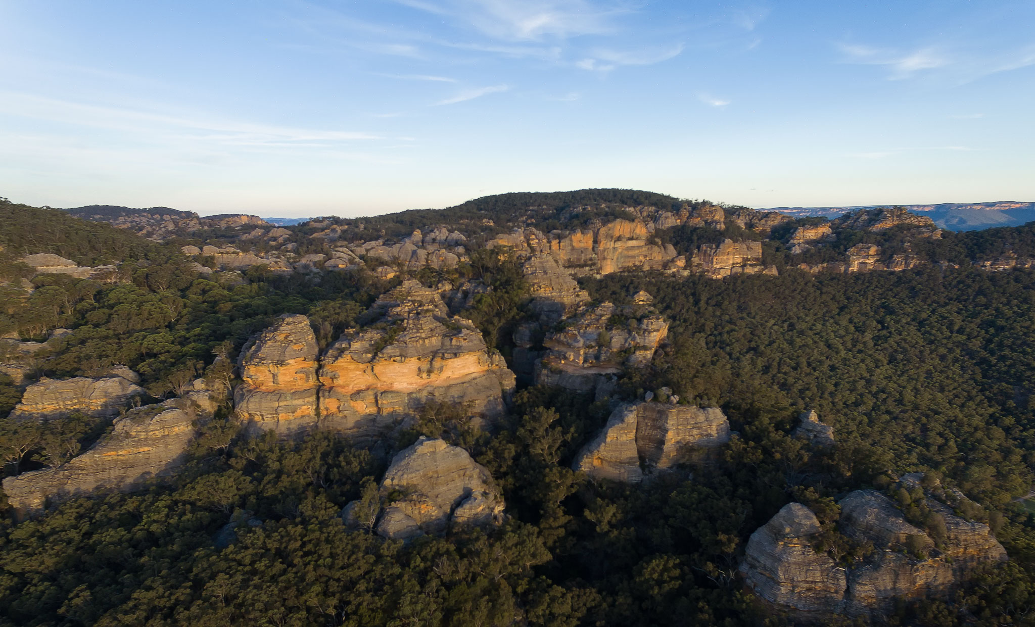
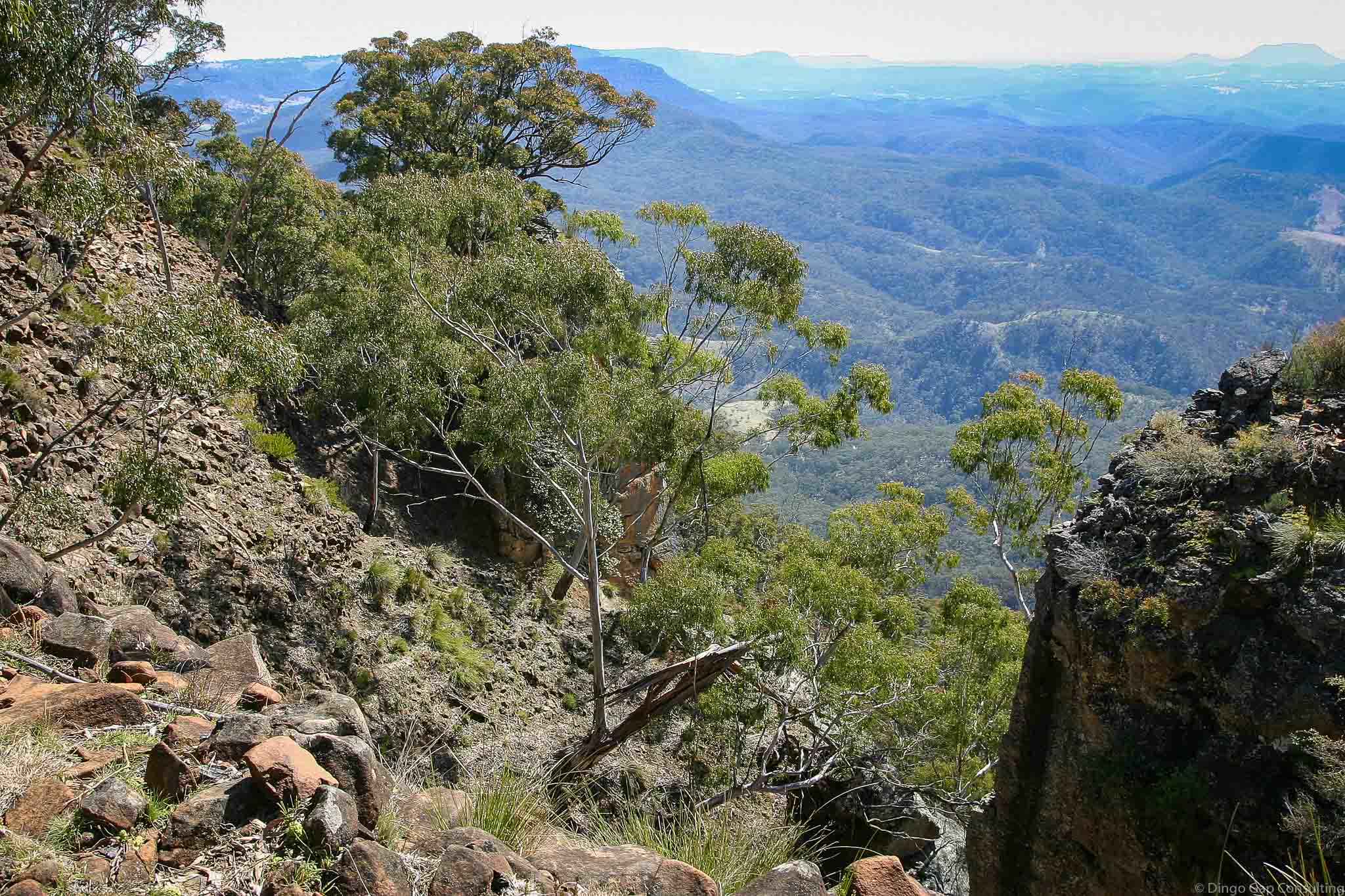
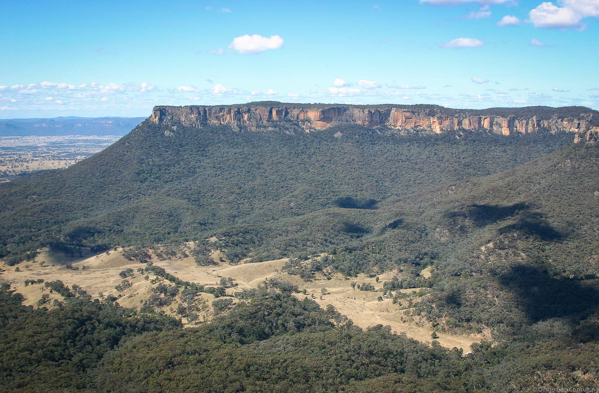
Two large mesas, Mt Airly and Genowlan Mountain, dominate the surrounding countryside. The mesas are separated by Gap Creek which has cut a narrow steep sided valley between them. Genowlan Creek rises on Genowlan Mountain and flows north to join the Capertee River.
The area has been mined for many years, initially for oil shale and later for gold and diamonds. A coal mine is operating just to the west of and under the State Conservation Area.
There are many relics from the early mining period on the eastern slopes of Mt Airly, including cave houses, tramways and mine structures. Viewed in their historical setting these relics provide a valuable picture of life, in what was 100 years ago, a remote mining community. The area is archaeologically significant, sensitive and quite unique.
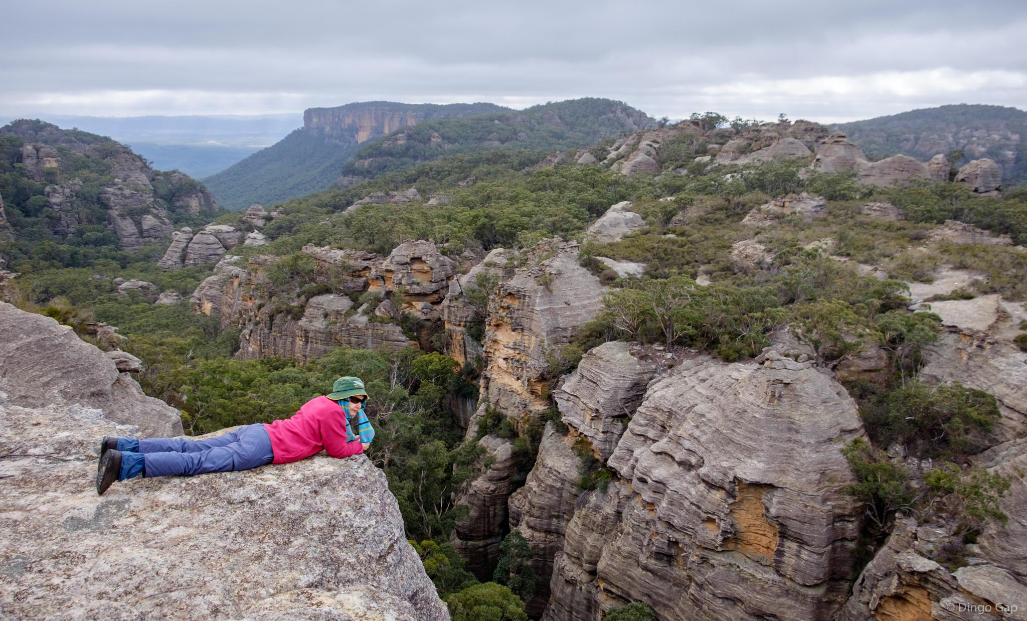
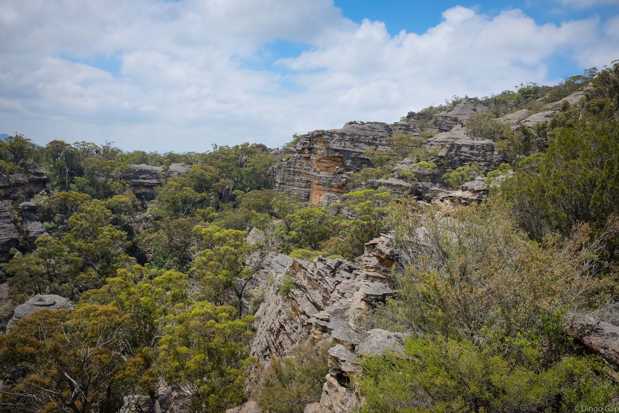
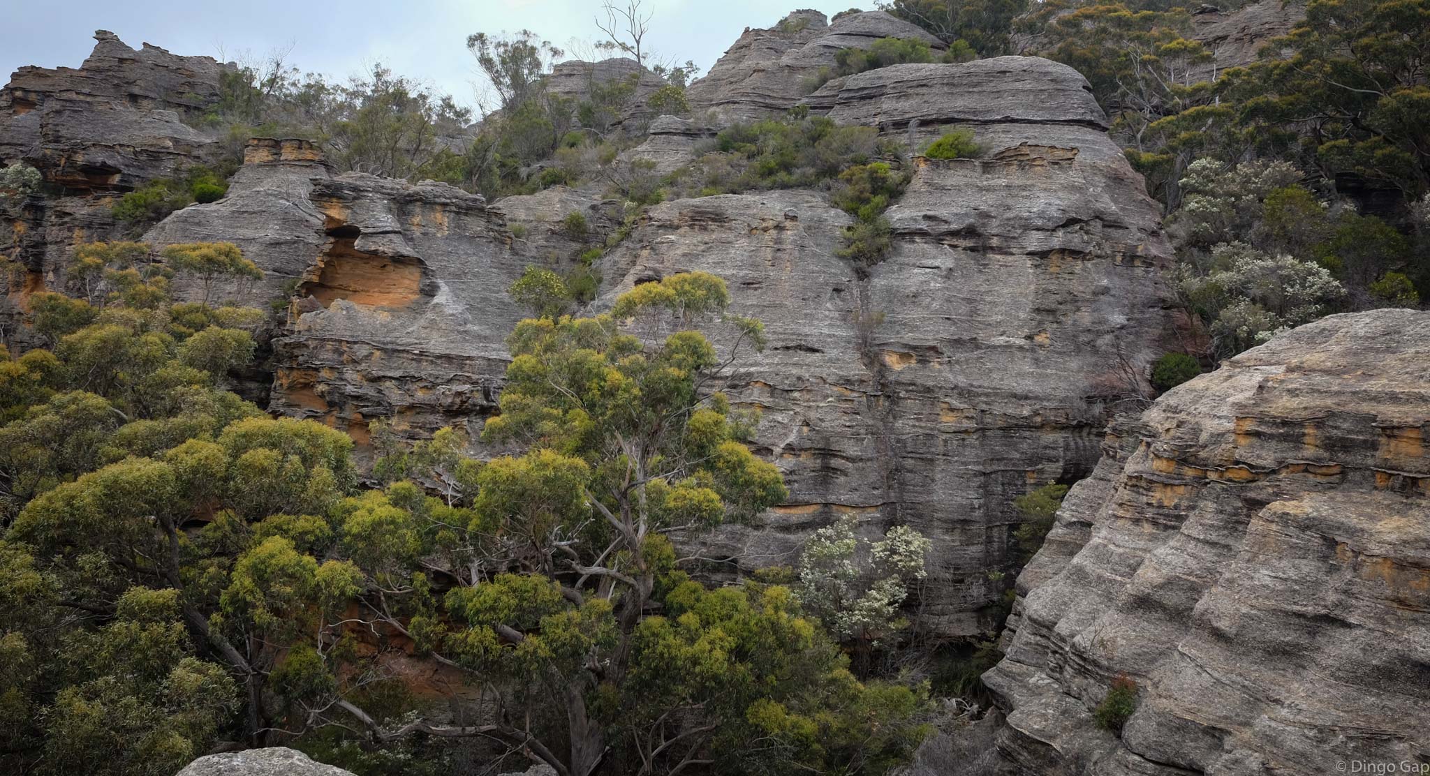
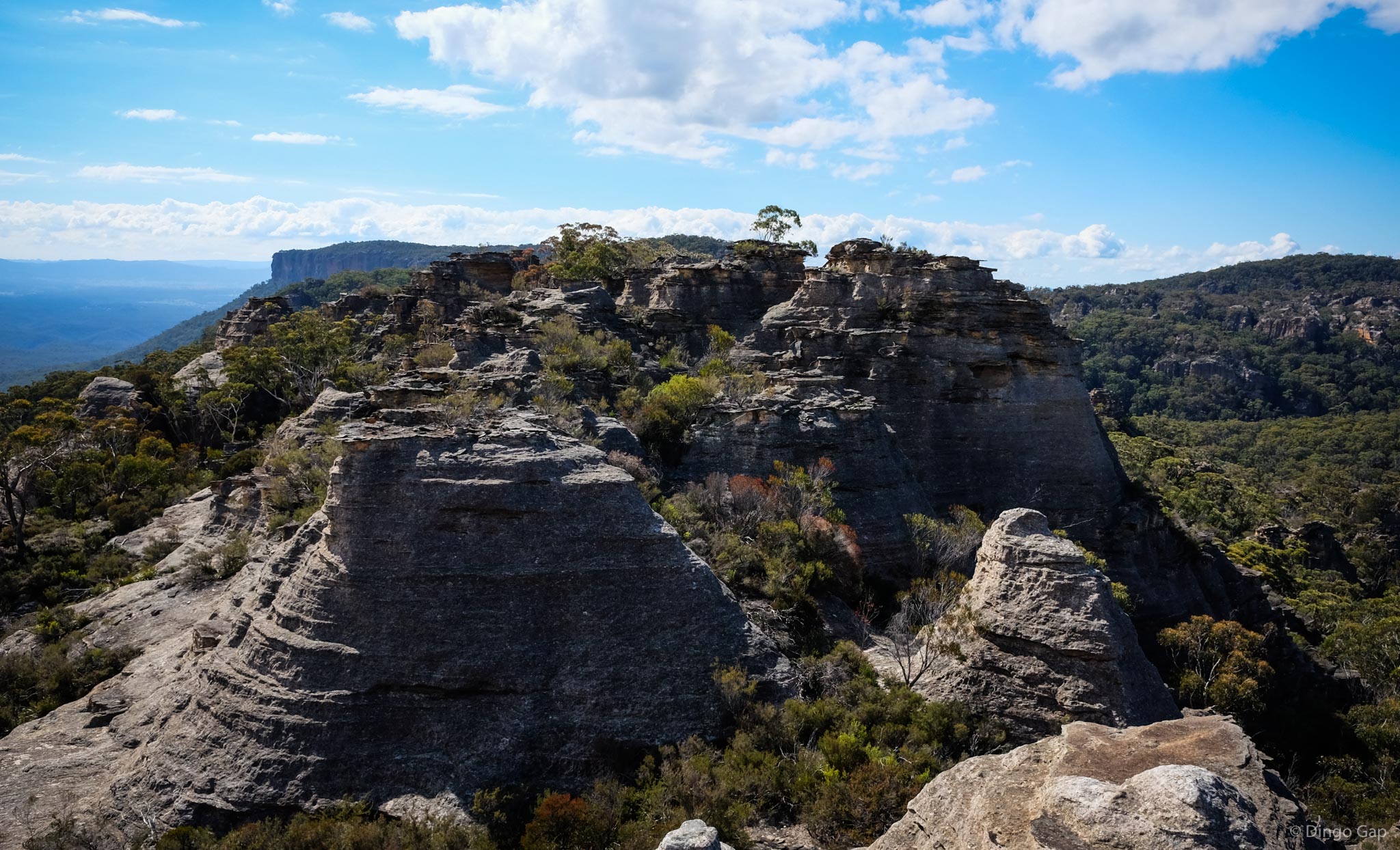
Genowlan Mountain has colonies of endangered plants, interesting canyons, large pagoda mazes rock art as well as the relics of diamond and gold mining.
• Airly Gap to the Torbane Balcony
• Airly Gap to The Towers and return
• Airly Turret and the Eastern Pagodas
• Exploring the Gap Creek Pagodas
• Genowlan Mountain and the City In The Sky
• Genowlan Pinch, Airly Frustum and Airly Turret Slot
• Mt Airly - The Southern Ridgeline
• Mt Airly - The Southern Ridgeline, under the Great Wall and on to Airly Gap
• Valley of the Kings
Glen Alice 8931-4N
225 333
500 - 1040 metres
State Conservation Area
Mugii Murum-ban SCA (NSW)
Airly and Morundurey
Roxburgh