This site uses optional analytics cookies to help improve content and usability. Learn more
Comments:
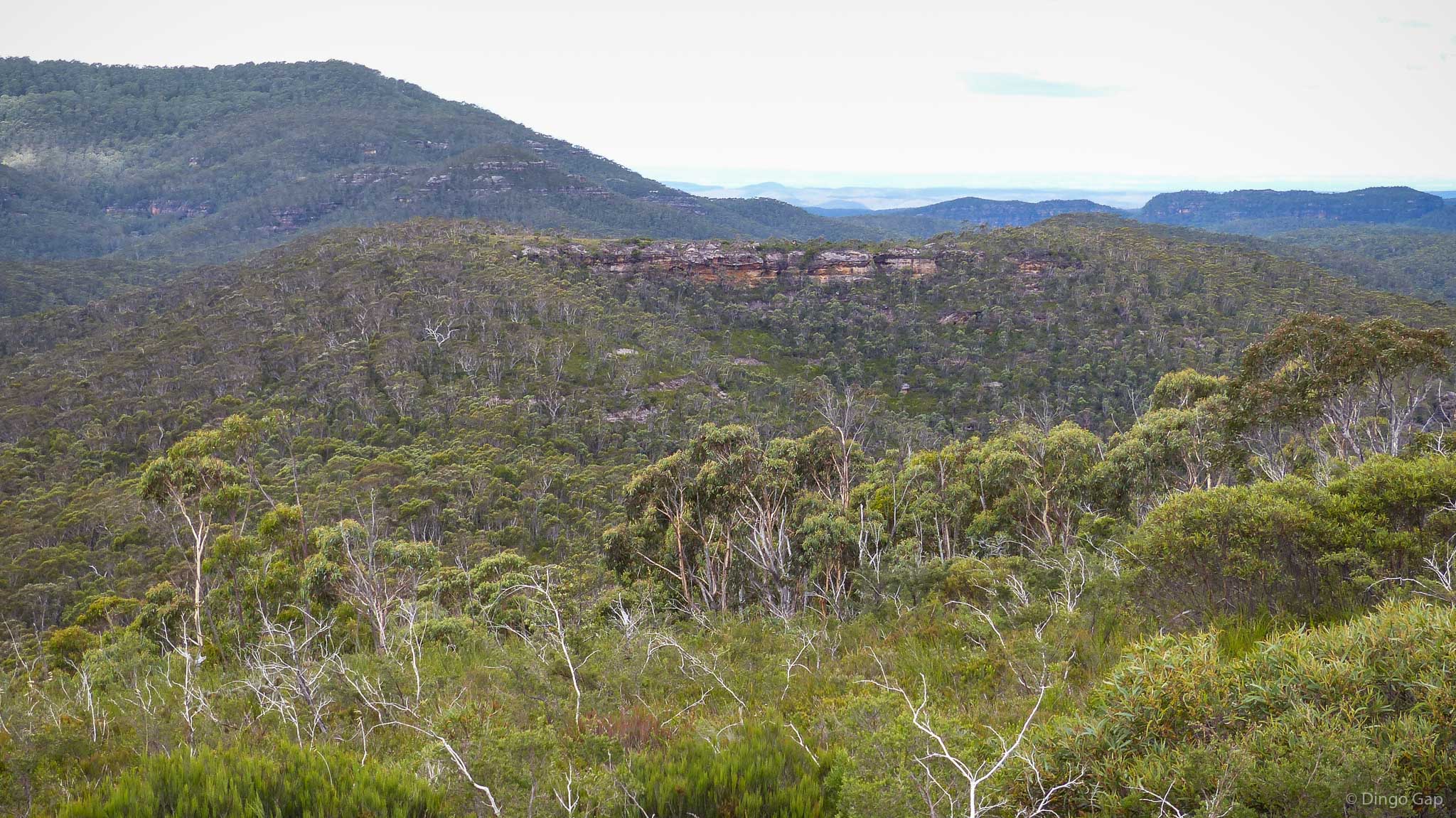
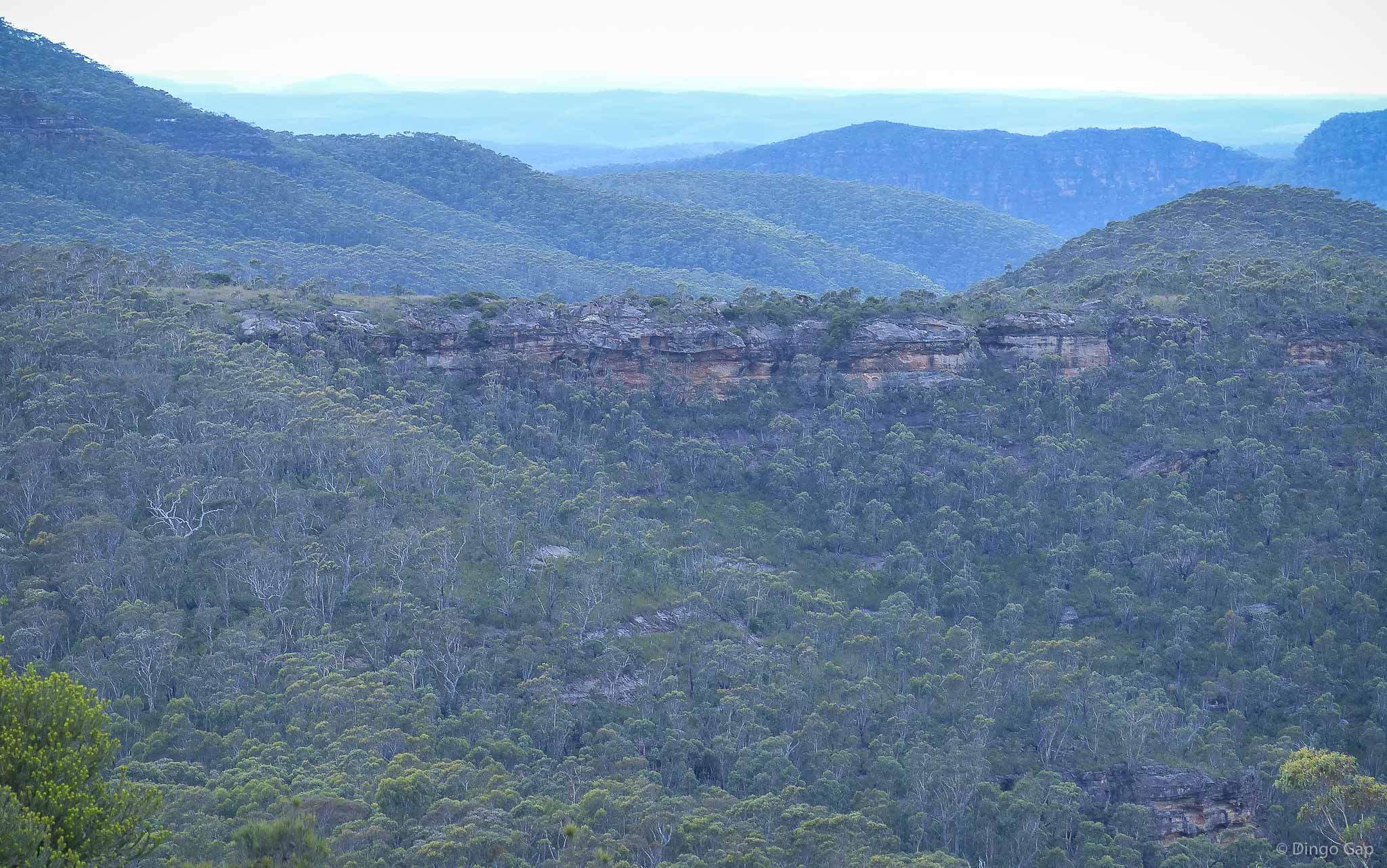
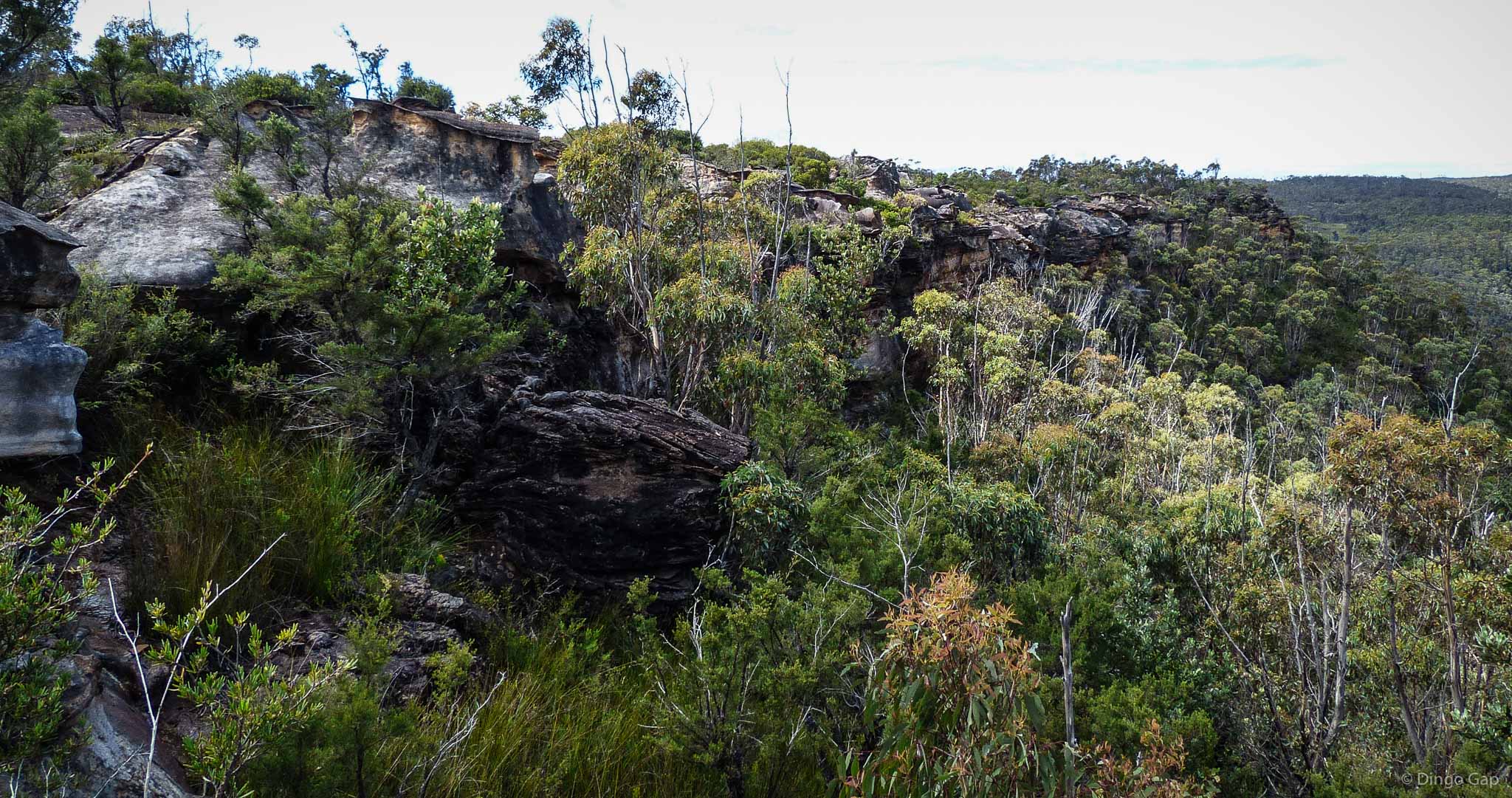
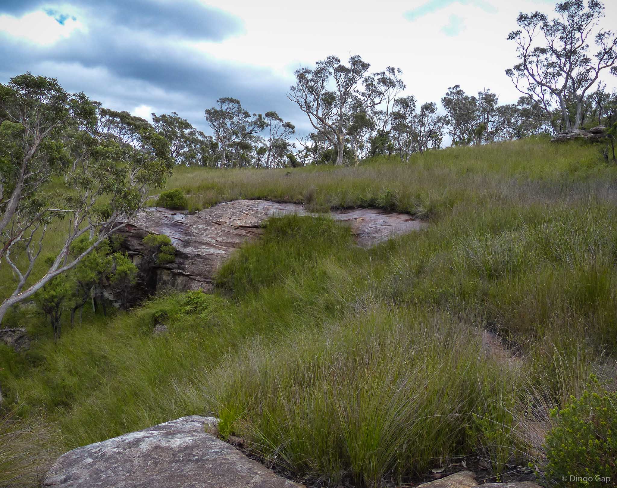
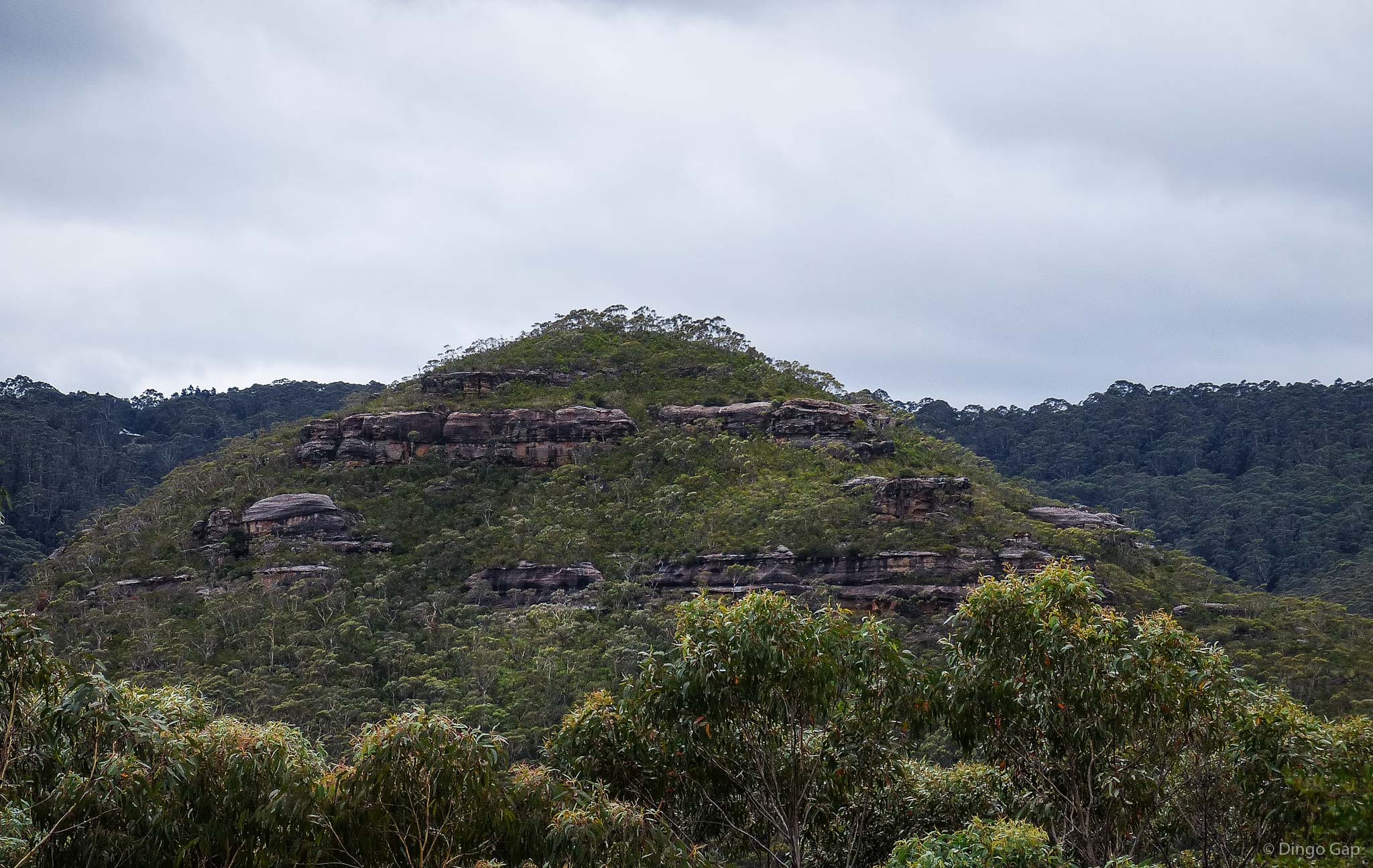
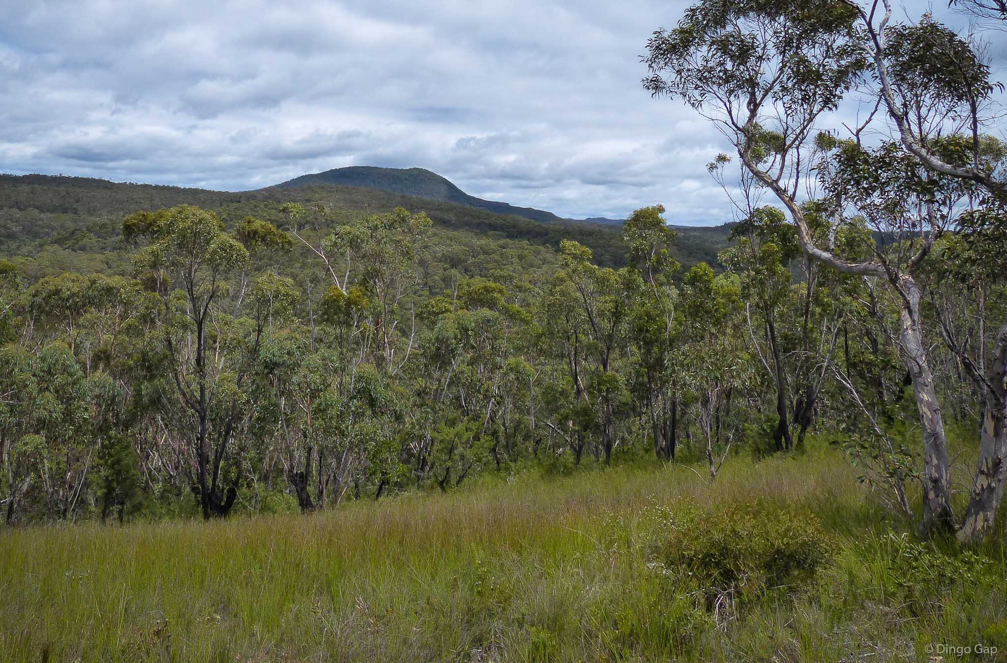
Lightning Ridge runs south east from Mt Charles for 2.5km to the junction of Carmarthen and Claustral Brooks.
Maps:
Central Blue Mountains (Dunphy)Mt Wilson 8930-1N
Grid Reference:
567 841 - 585 829
Altitude:
934 - 800 metres
Class:
Ridge
Location:
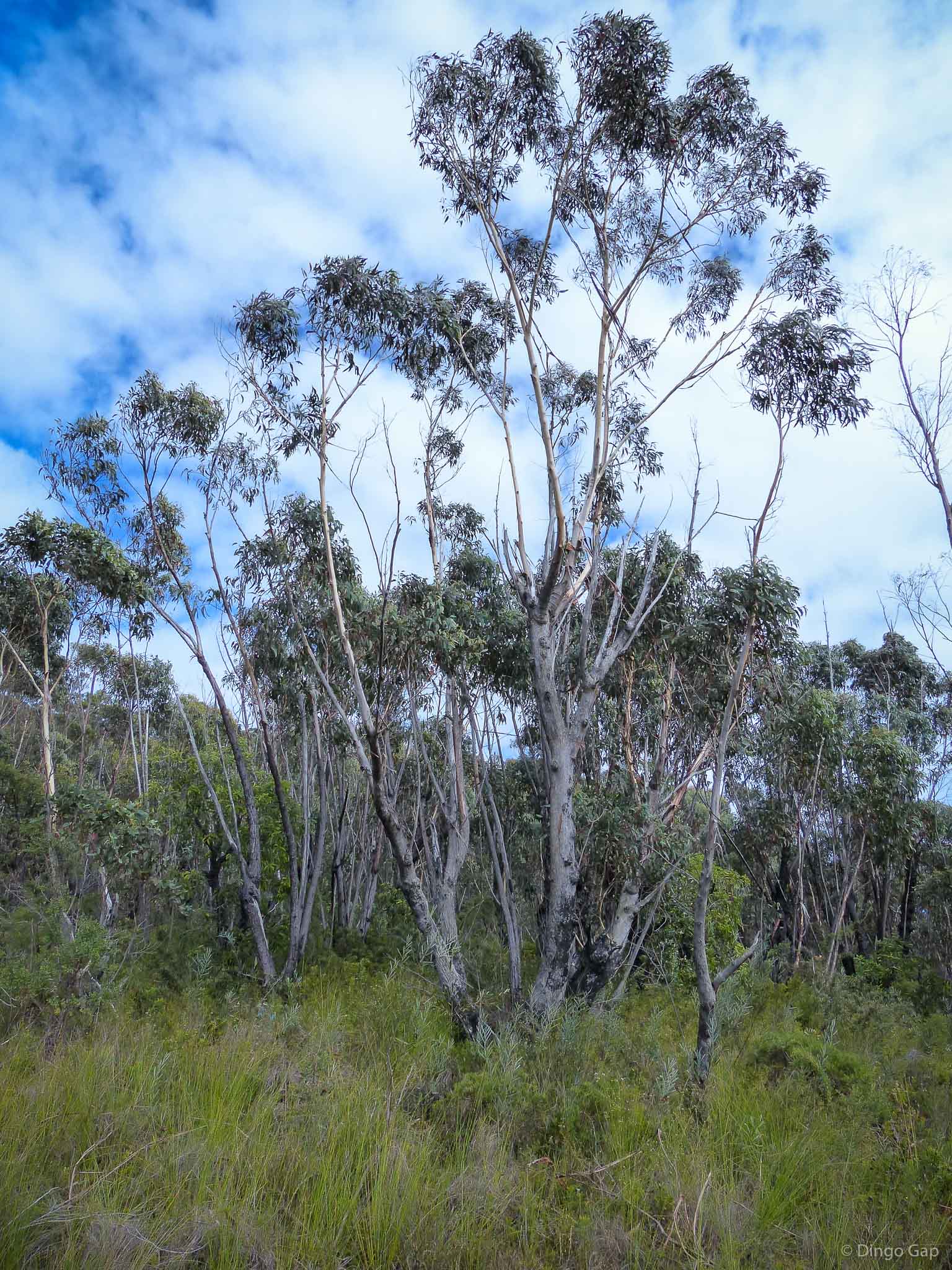
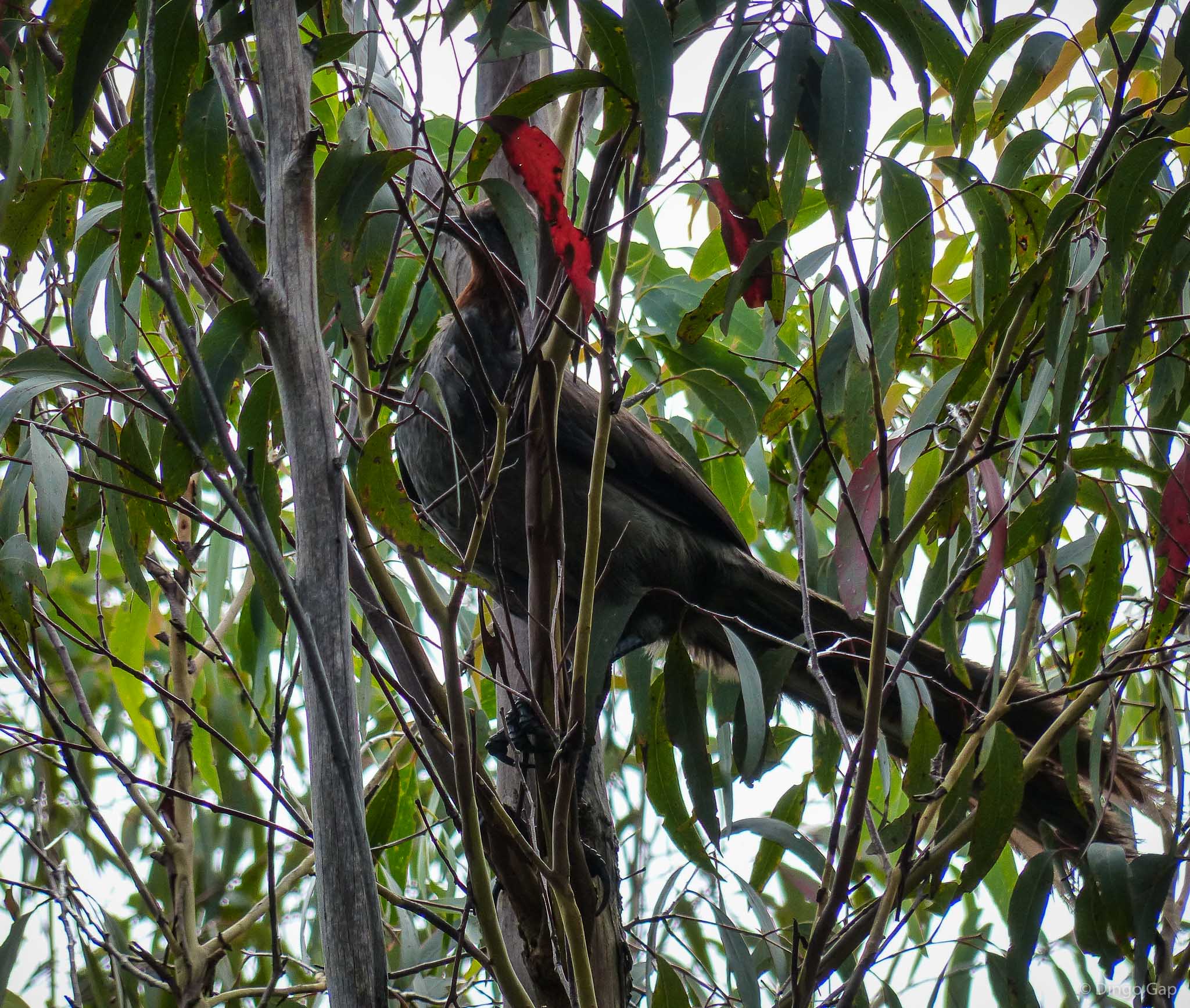
Blue Mountains National Park (NSW)
Part of:
Bell Range
Parish:
Irvine
County:
Cook