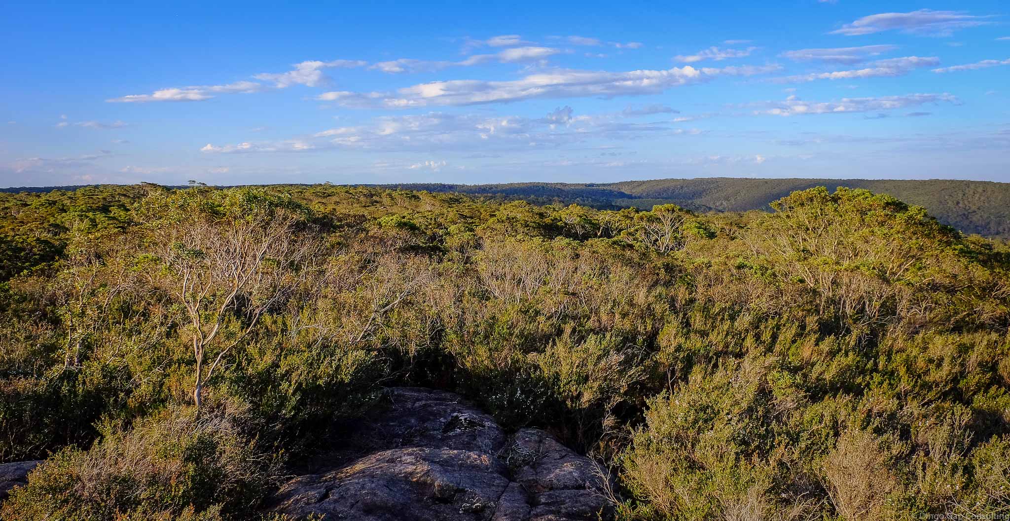
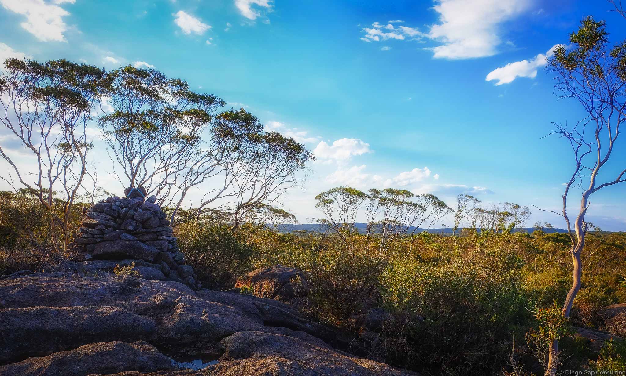
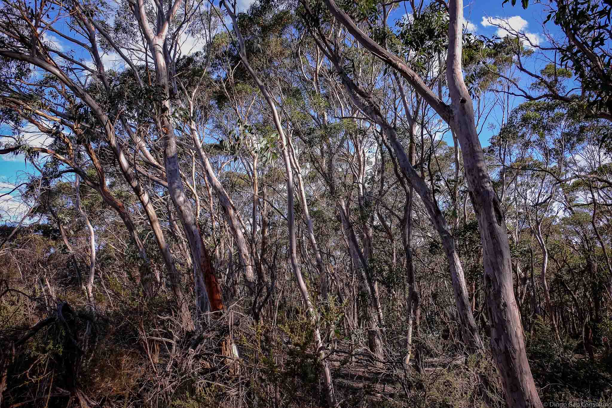
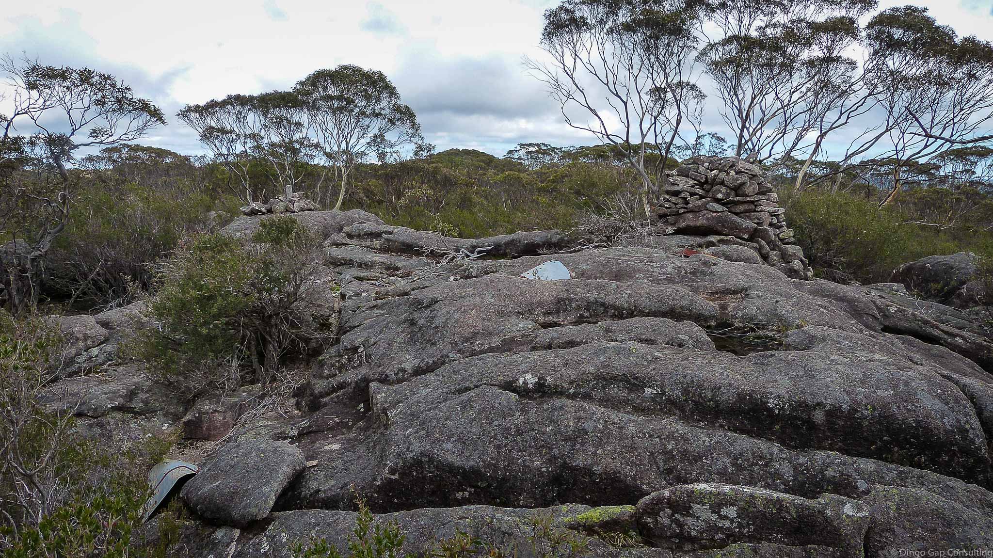
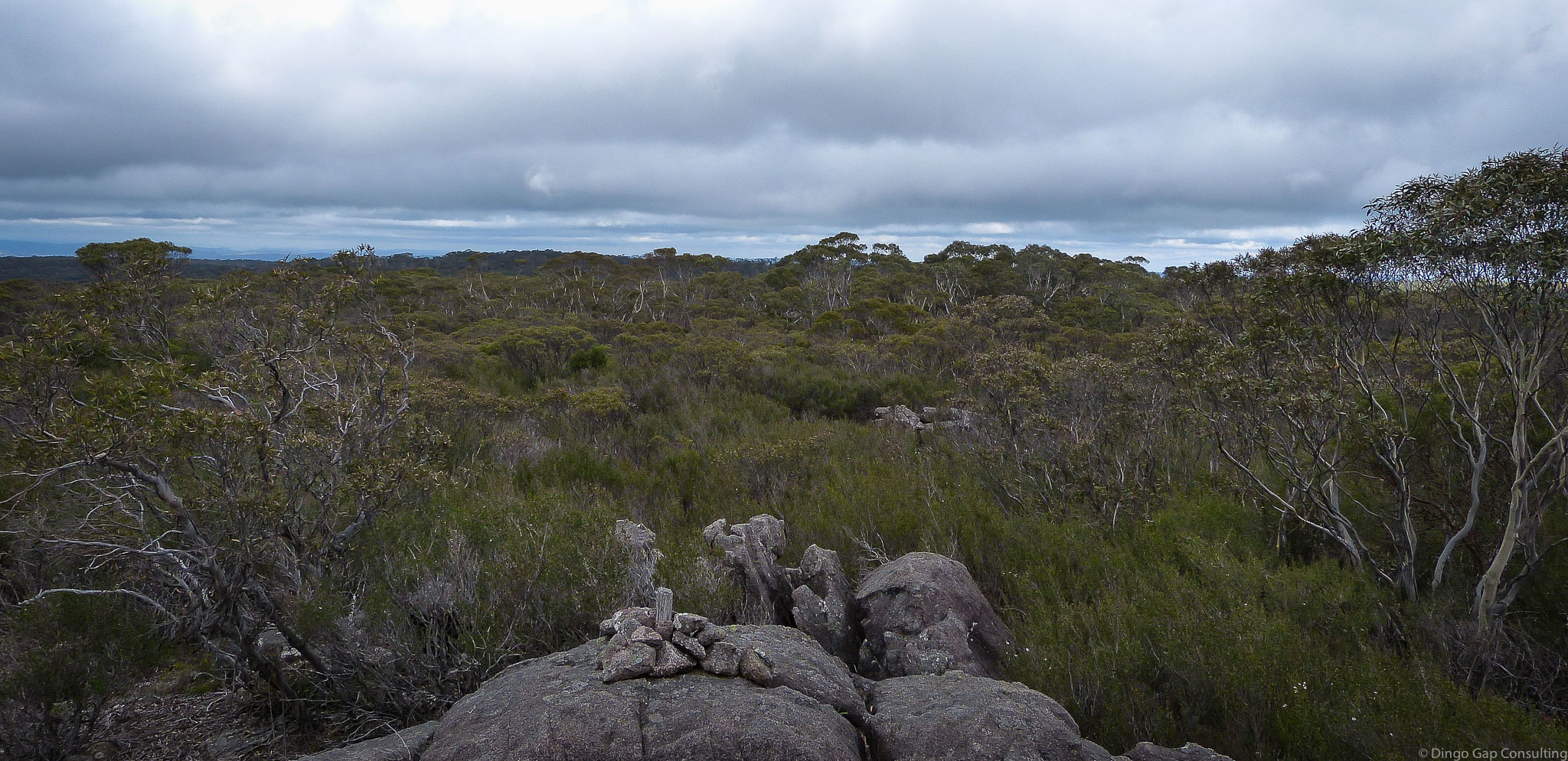
Kanangra Range
The Kanangra Range runs from Mt Edwards in the north to Boyd Trig in the south.
The Kanangra Walls Road generally follows the top of the Kanangra Range to Queen Pin and then heads down Boyd Crossing.
Kanangra 8930-3S
Kowmung (Dunphy)
235 518 - 293 361
1270 metres
Range
Kanangra-Boyd National Park (NSW)
Konangaroo
Westmoreland


Last Updated: 03-05-2019