Gogy Ridge
Gogy Ridge runs down from Rocky Top near the Kanangra Road to Upper Christys Creek.
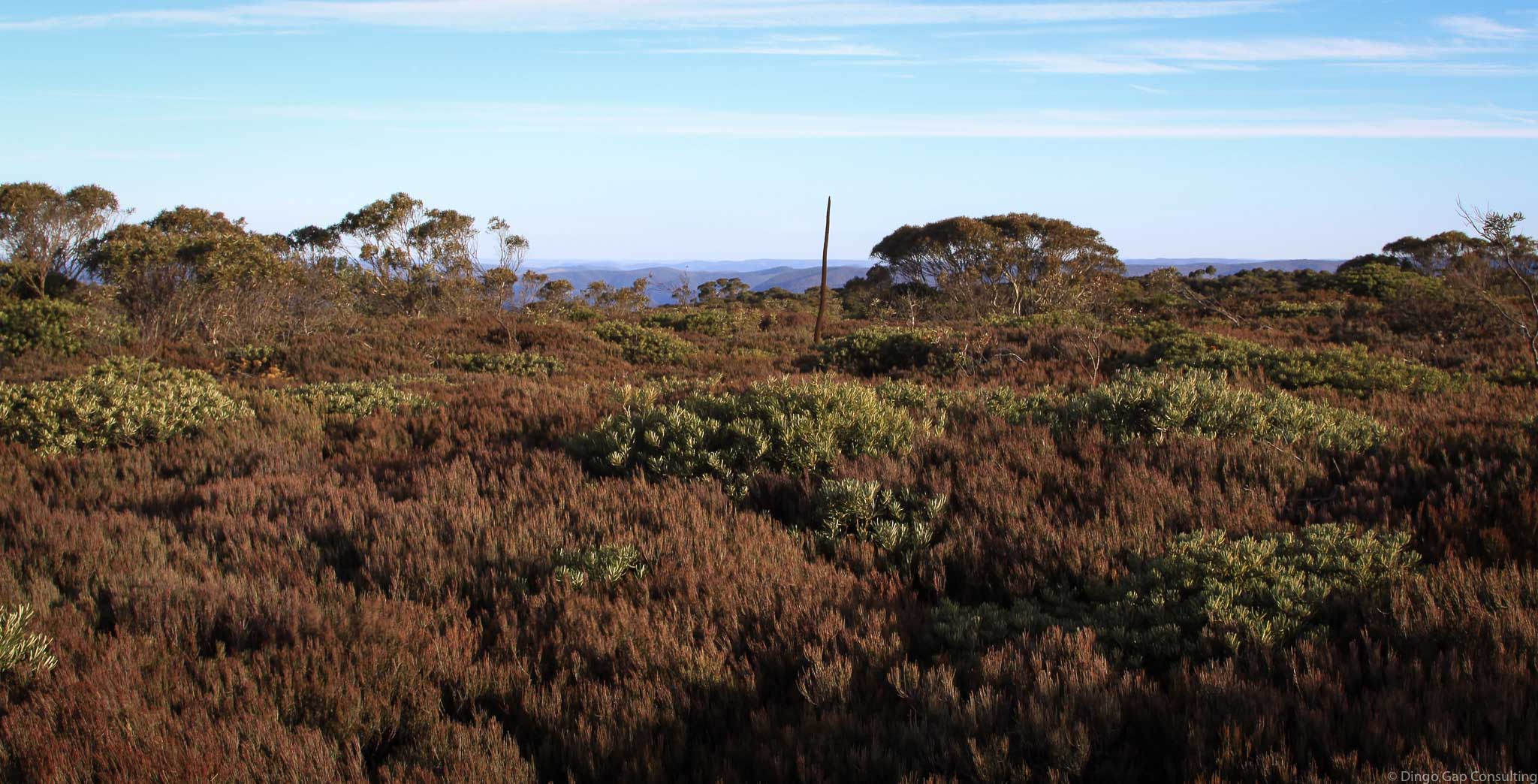
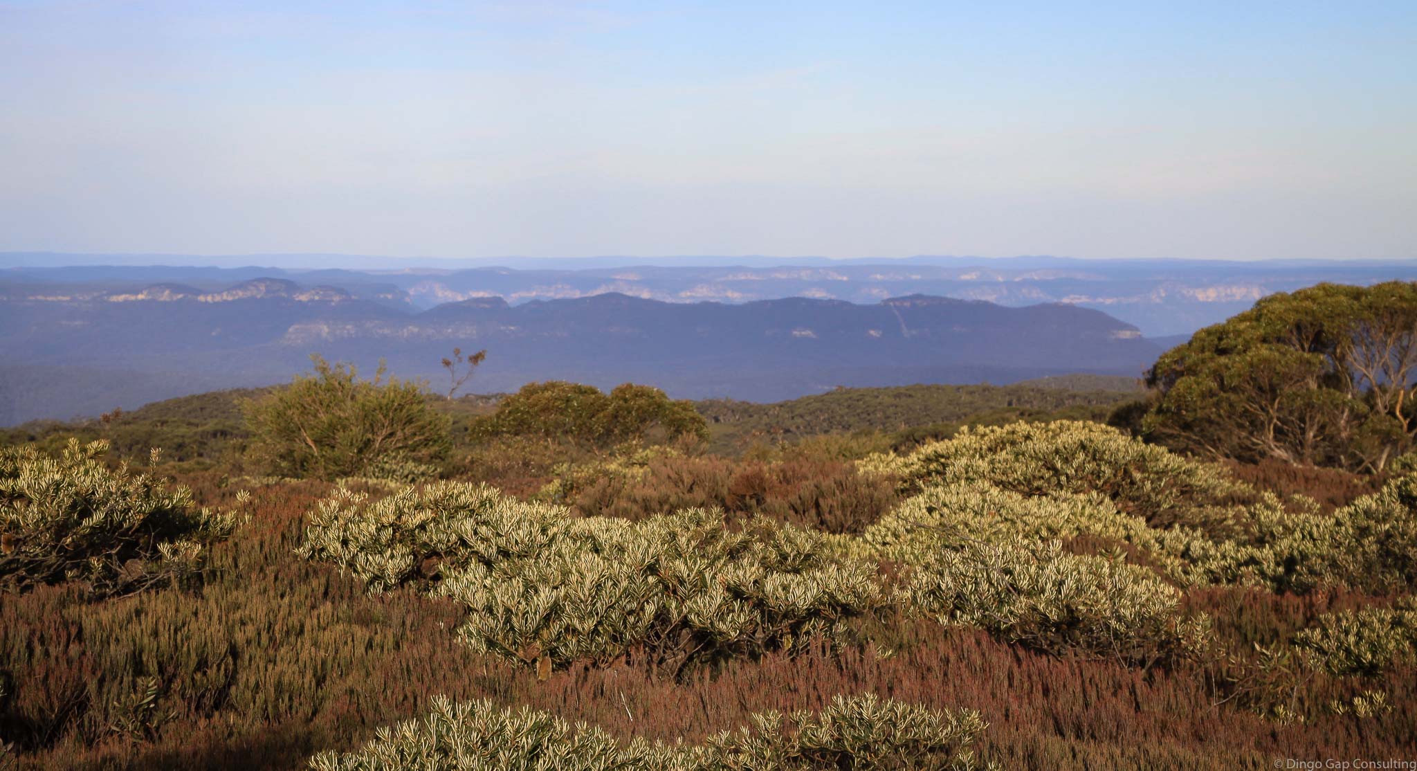
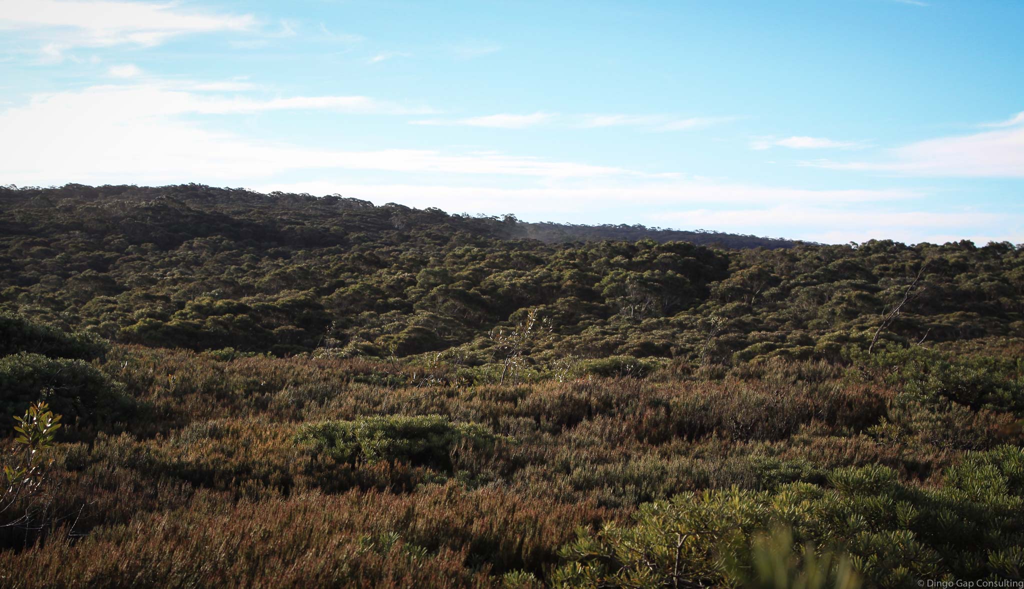
Most of the ridge is covered with a dry sclerophyll forest that is quite easy to walk through.
There are large areas of heath, particularly along the top of the ridge near Plateau Trig, which should are very difficult to walk through.
Gogy Ridge has long been part of a quick way through to Mt Barrallier and on down to the junction of Central Christys and Wheengee Whungee Creeks.
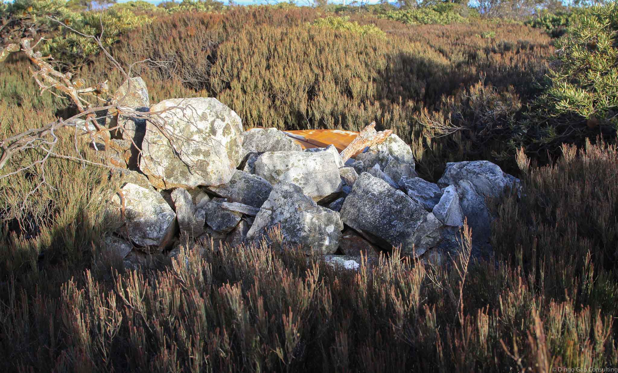
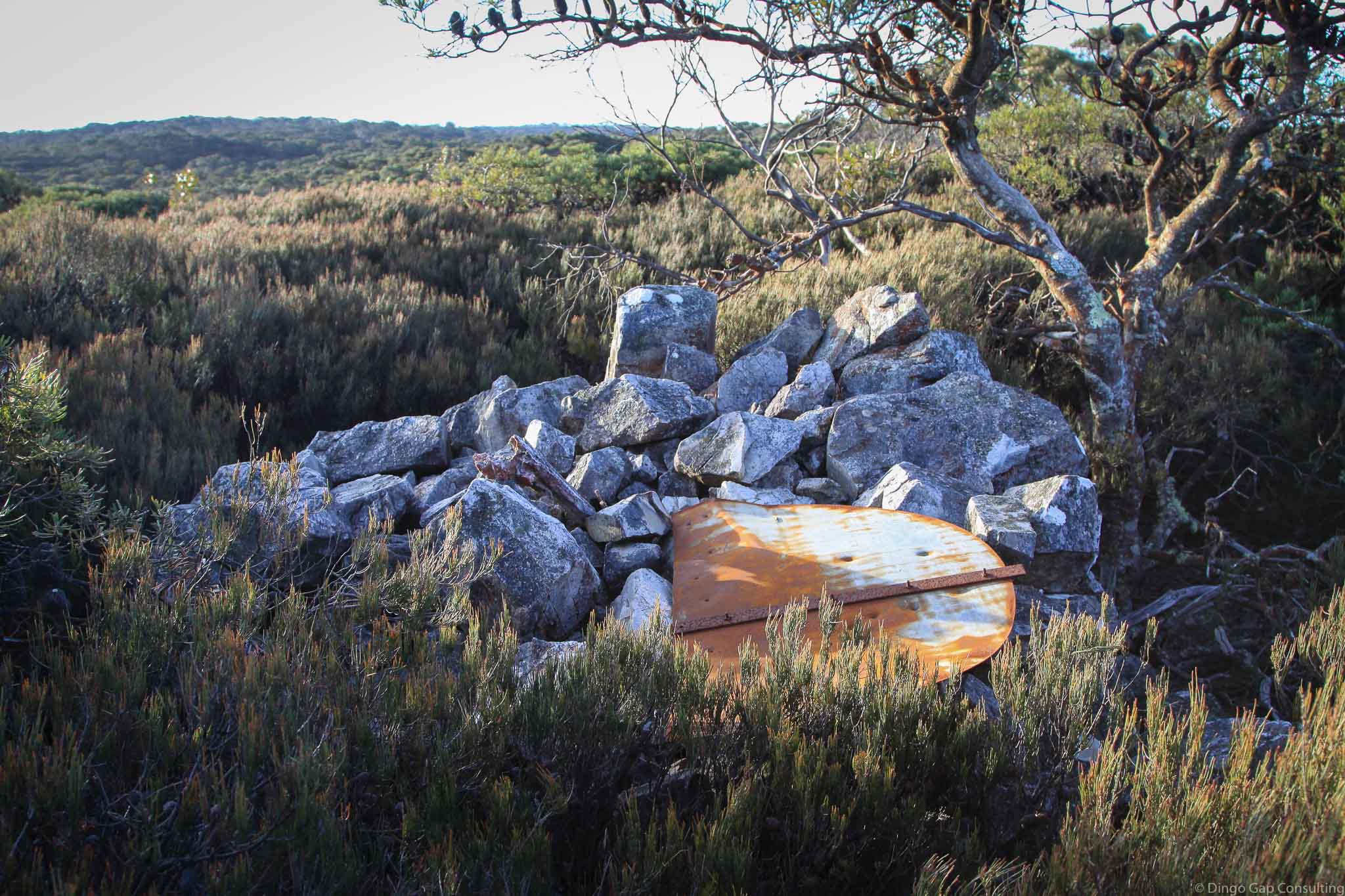
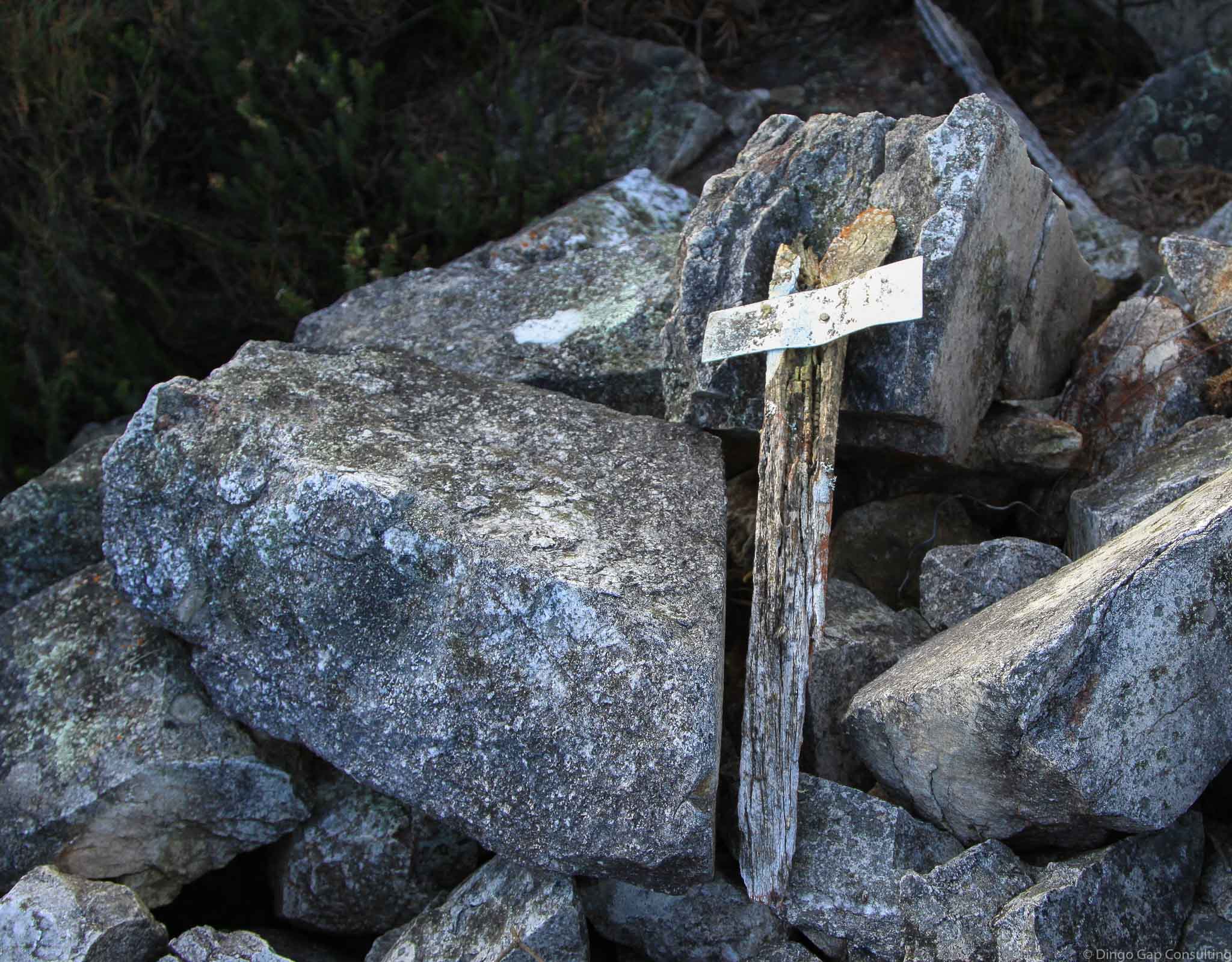
Metal tags marking the route can still be found on some old trees. The 1970 Gundungura Map shows a track following the same general route as the metal tags.
Kanangra 8930-3S
Kanangra Tops (Dunphy)
Kowmung (Dunphy)
295 340
1213 metres
Ridge
Kanangra-Boyd National Park (NSW)
Tartarus
Westmoreland