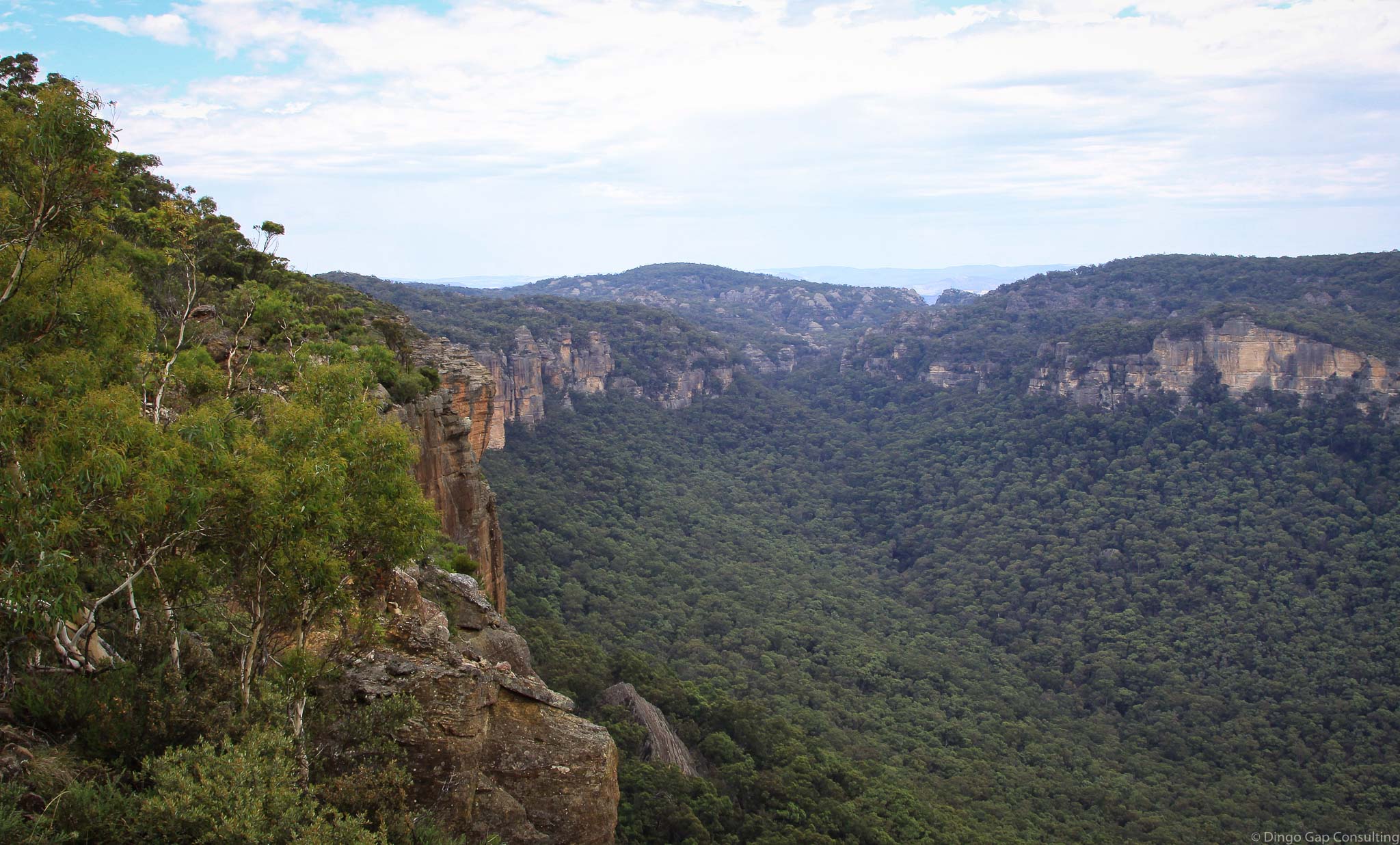
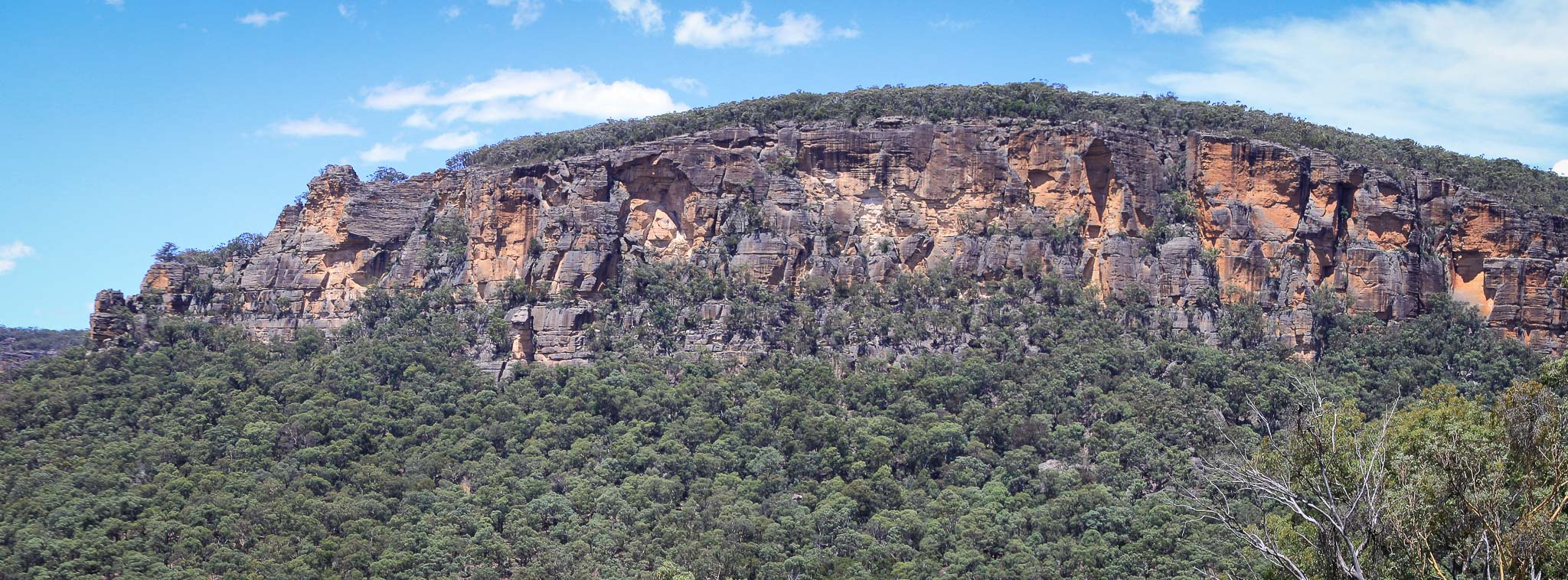
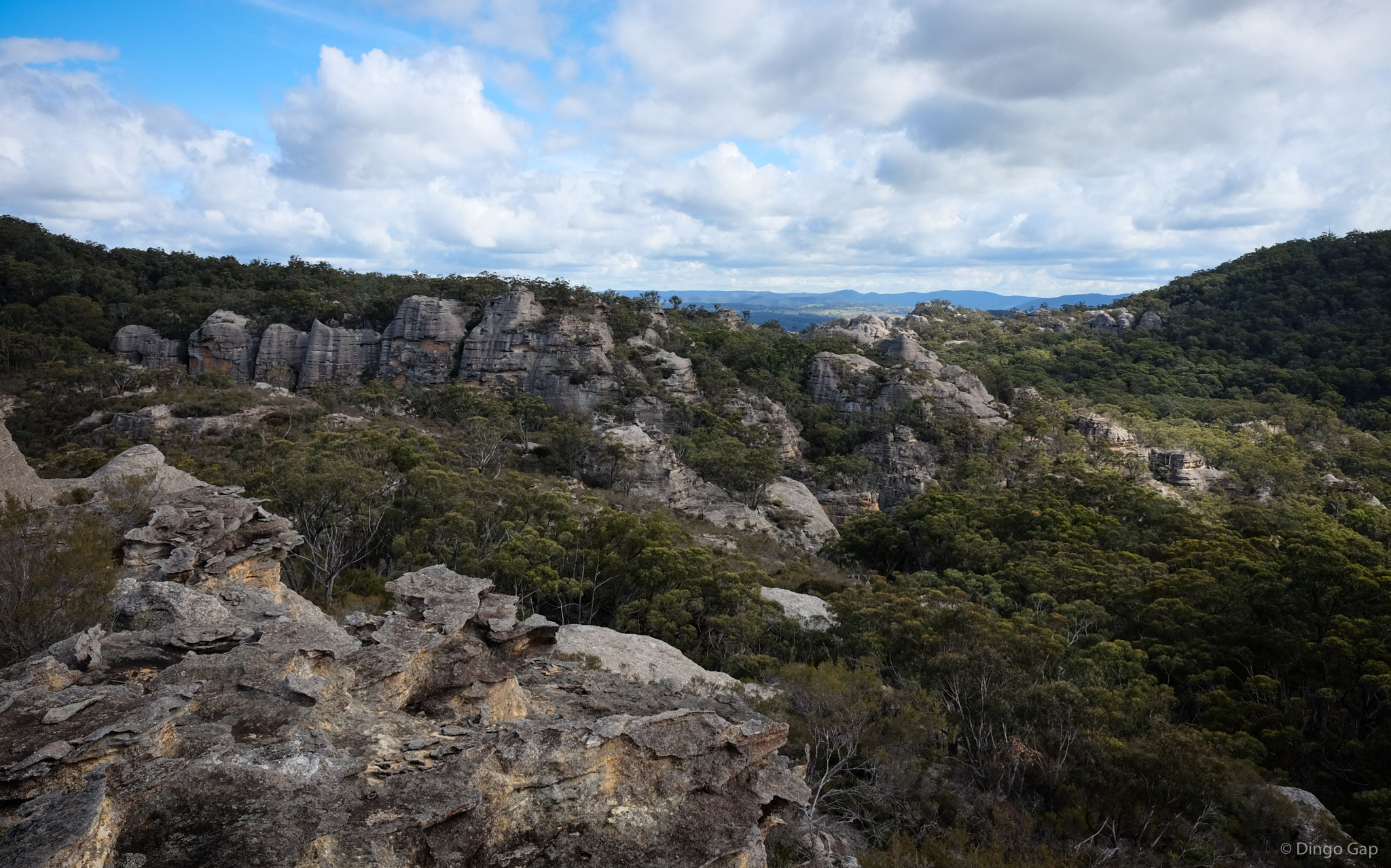
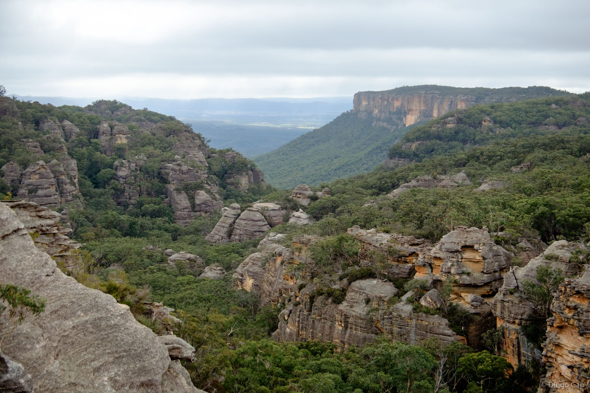
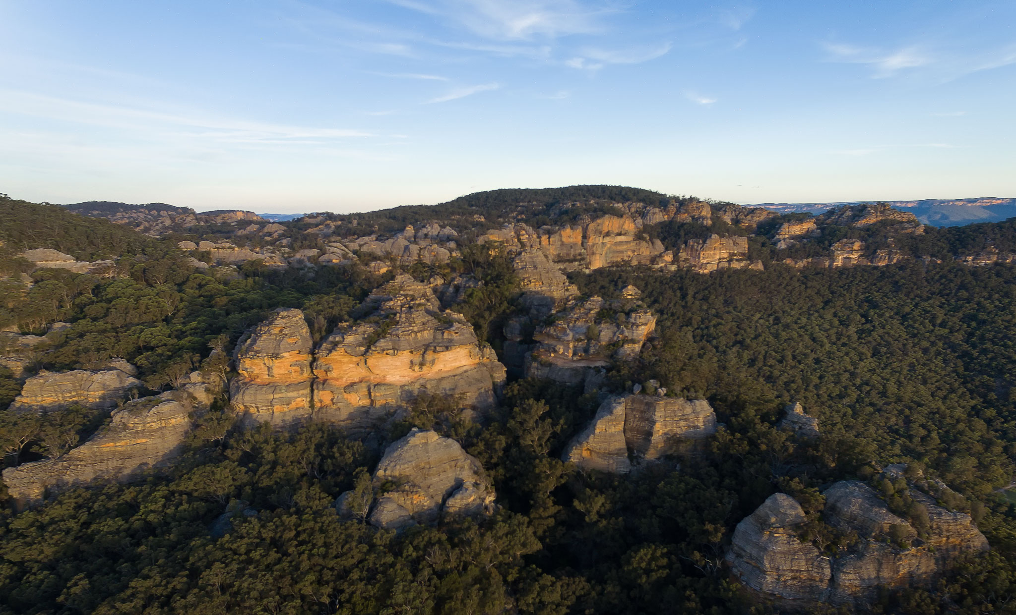
Genowlan Mountain
Genowlan Mountain is a rugged sandstone mesa in the Mugii Murum-ban State Conservation Area (NSW, Australia), known for extensive pagoda landforms, deep canyons and historic gold and diamond mining relics. Located east of Mount Airly and separated by Gap Creek, it is a destination for experienced bushwalkers, photographers and landscape explorers.
Genowlan Mountain is separated from Mt Airly by a steep sided valley cut by Gap Creek. That valley once supported a thriving oil-shale mining community.
The whole area has been mined for many years, initially for oil shale, later for gold and diamonds.
In the early 1900s miners from Airly Village spent free time prospecting for gold on Genowlan Mountain. Old adits and other relics can still be seen. In the 1960s and 1970s Genowlan Mountain was mined for diamonds and gold
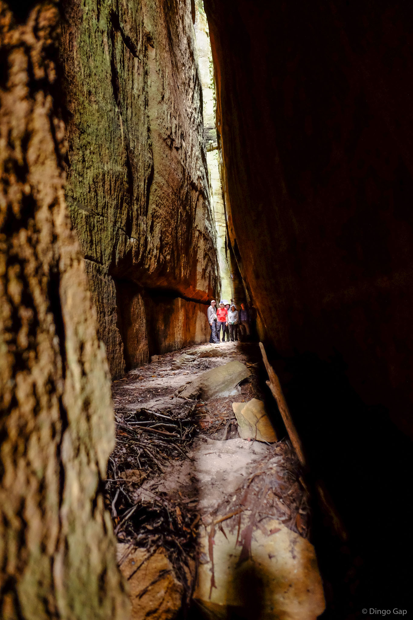
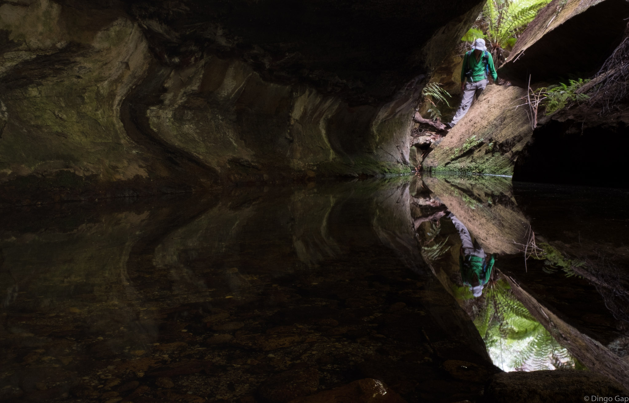
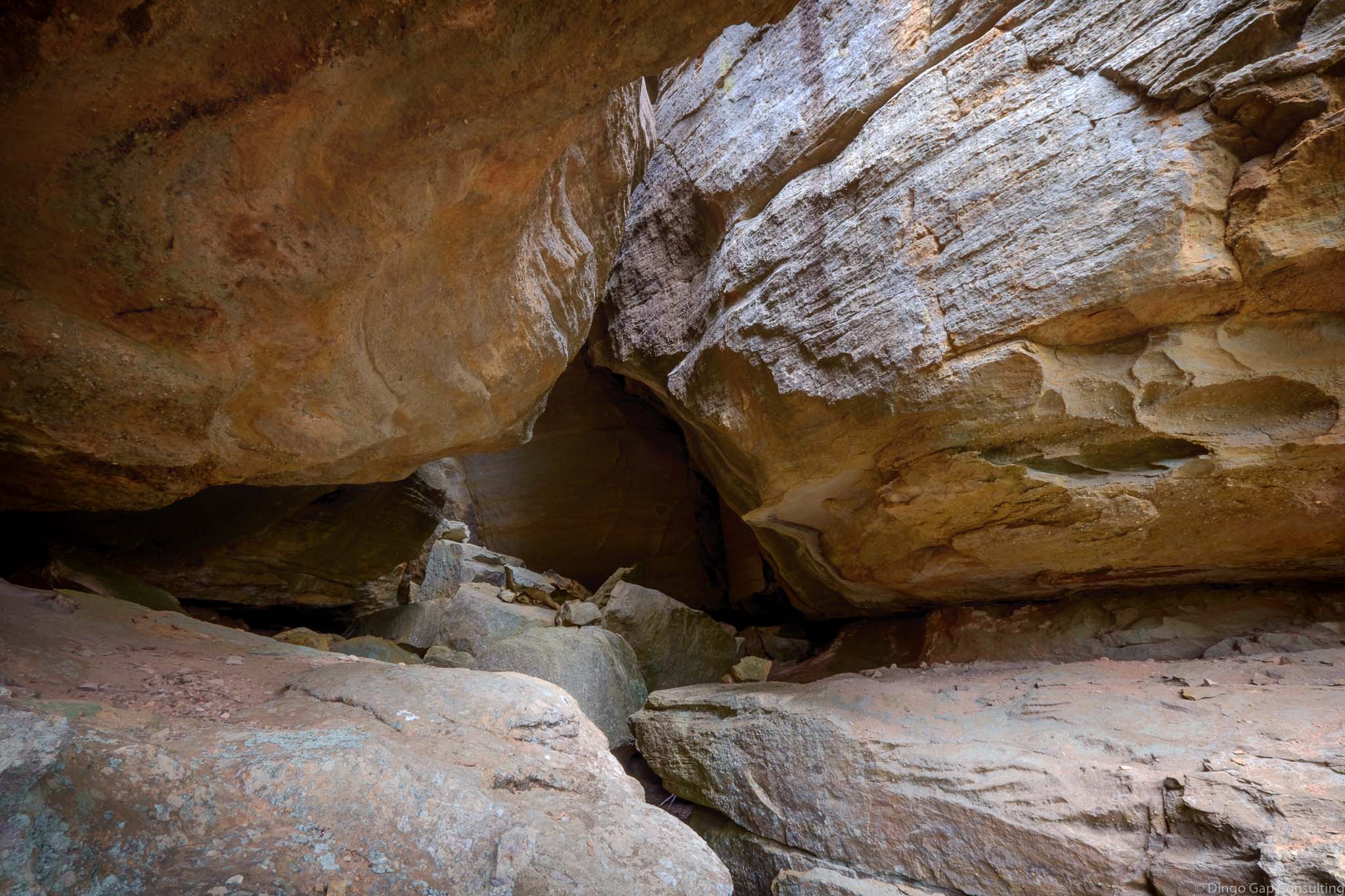
Genowlan Mountain has colonies of endangered plants, interesting canyons, large pagoda mazes and the relics of diamond and gold mining.
• Airly Turret and the Eastern Pagodas
• Genowlan Mountain and the City In The Sky
• Genowlan Pinch, Airly Frustum and Airly Turret Slot
• Valley of the Kings
Glen Alice 8931-4N
266 328
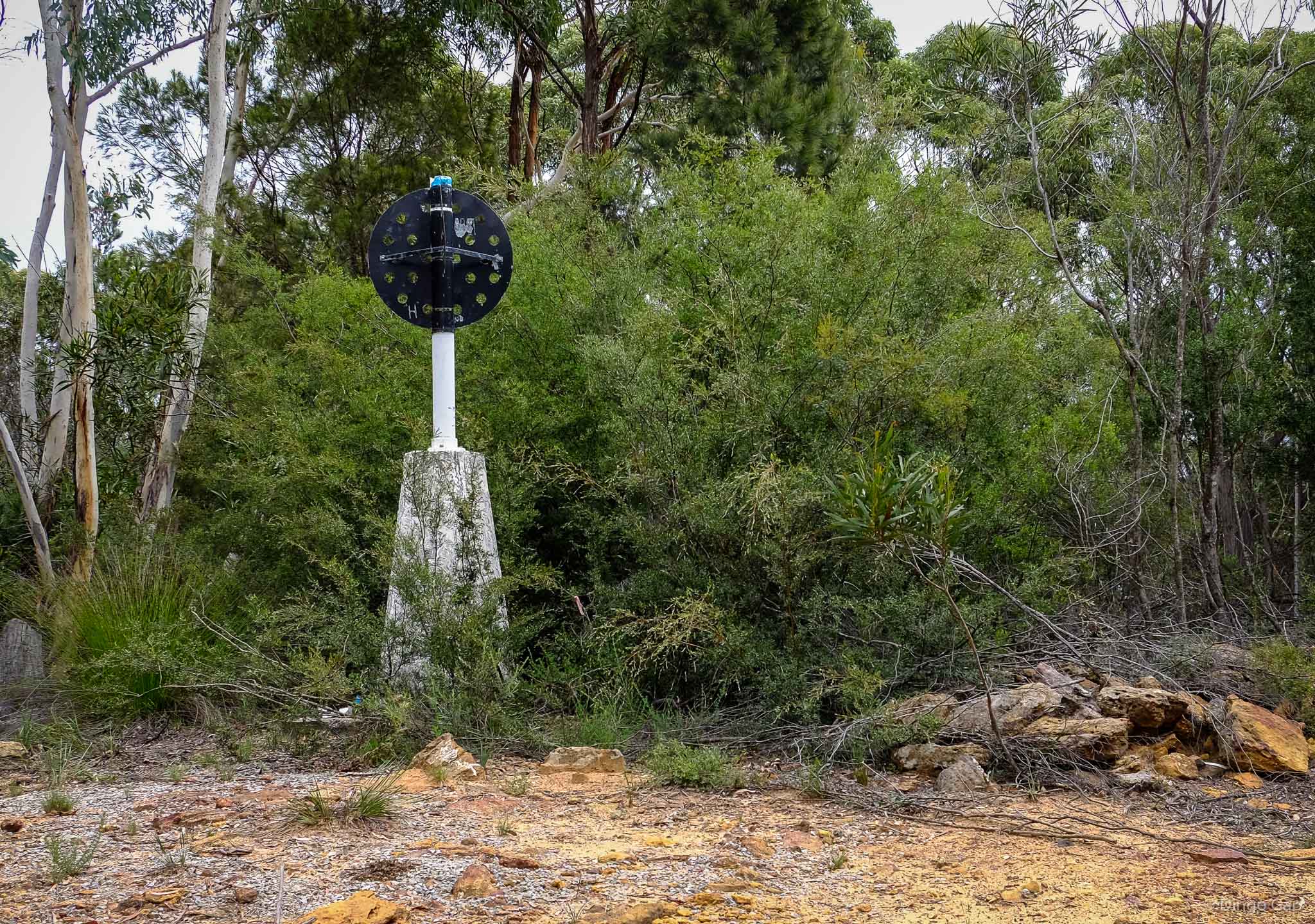
1040 metres
Mountain
Mugii Murum-ban SCA (NSW)
Morundurey
Roxburgh