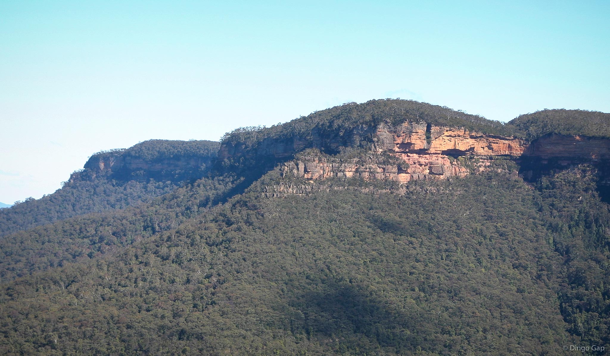
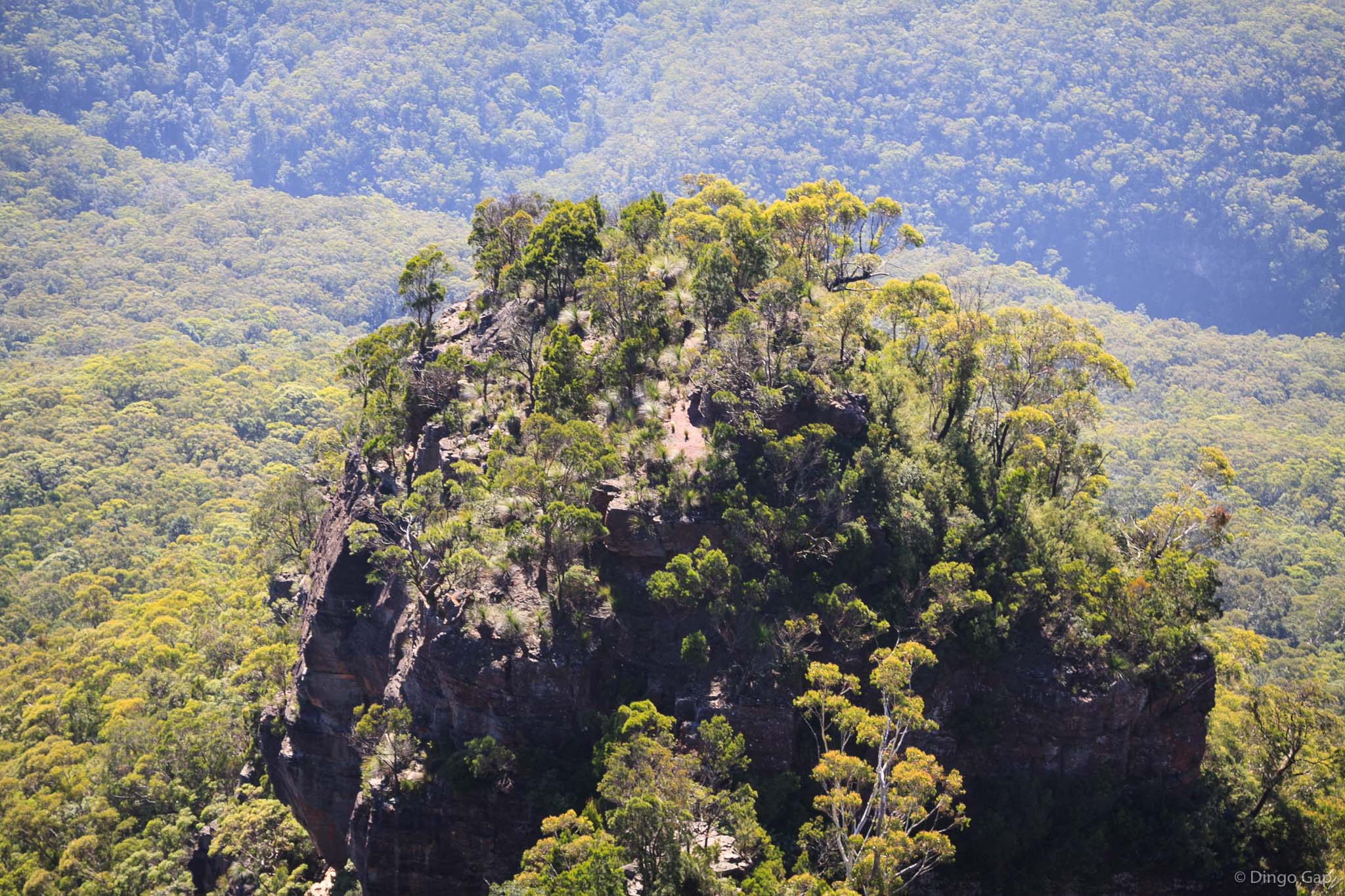
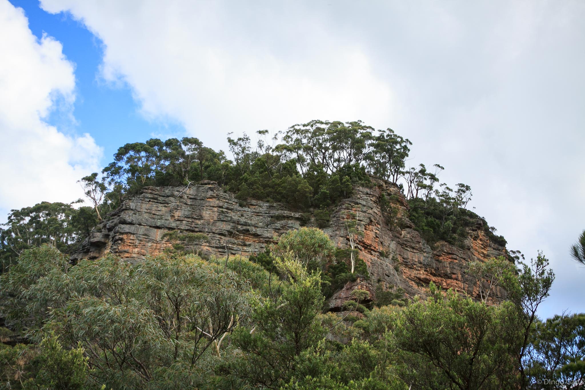
Cedar Head
Cedar Head is a promontory on the eastern side of Narrow Neck Plateau about 1.5 kilometres north east from Bushwalkers Hill.
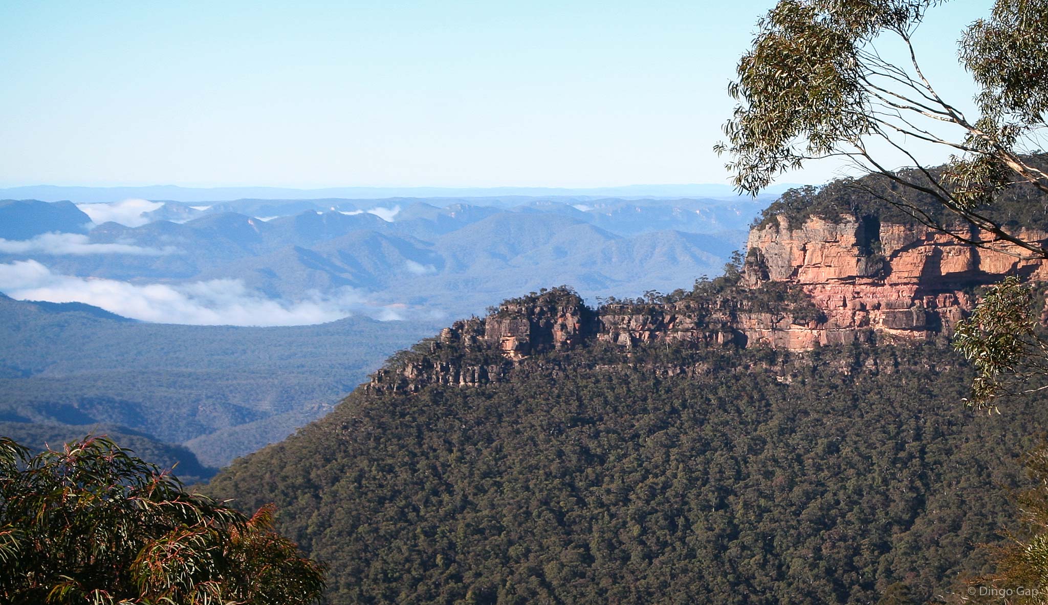
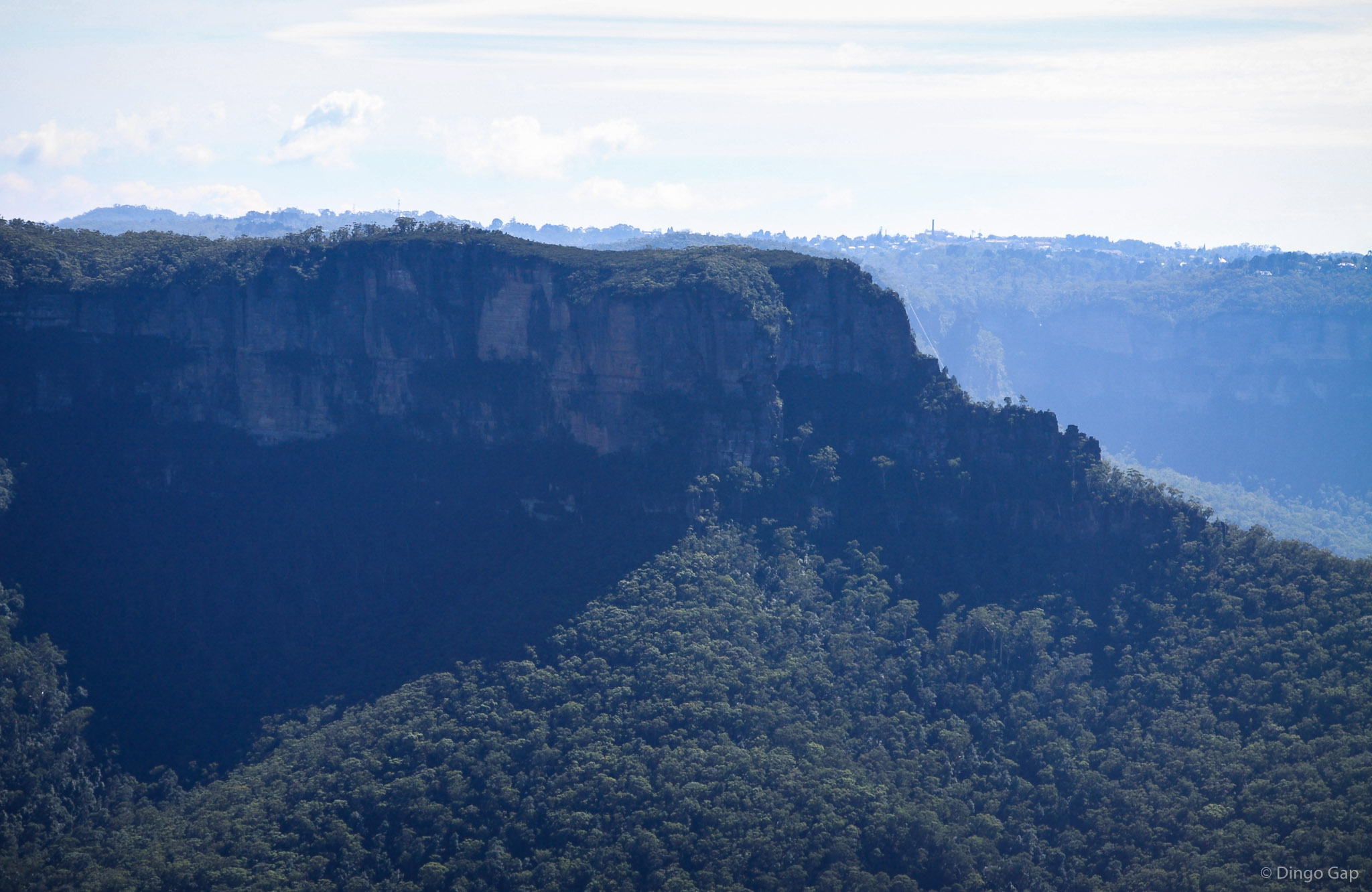
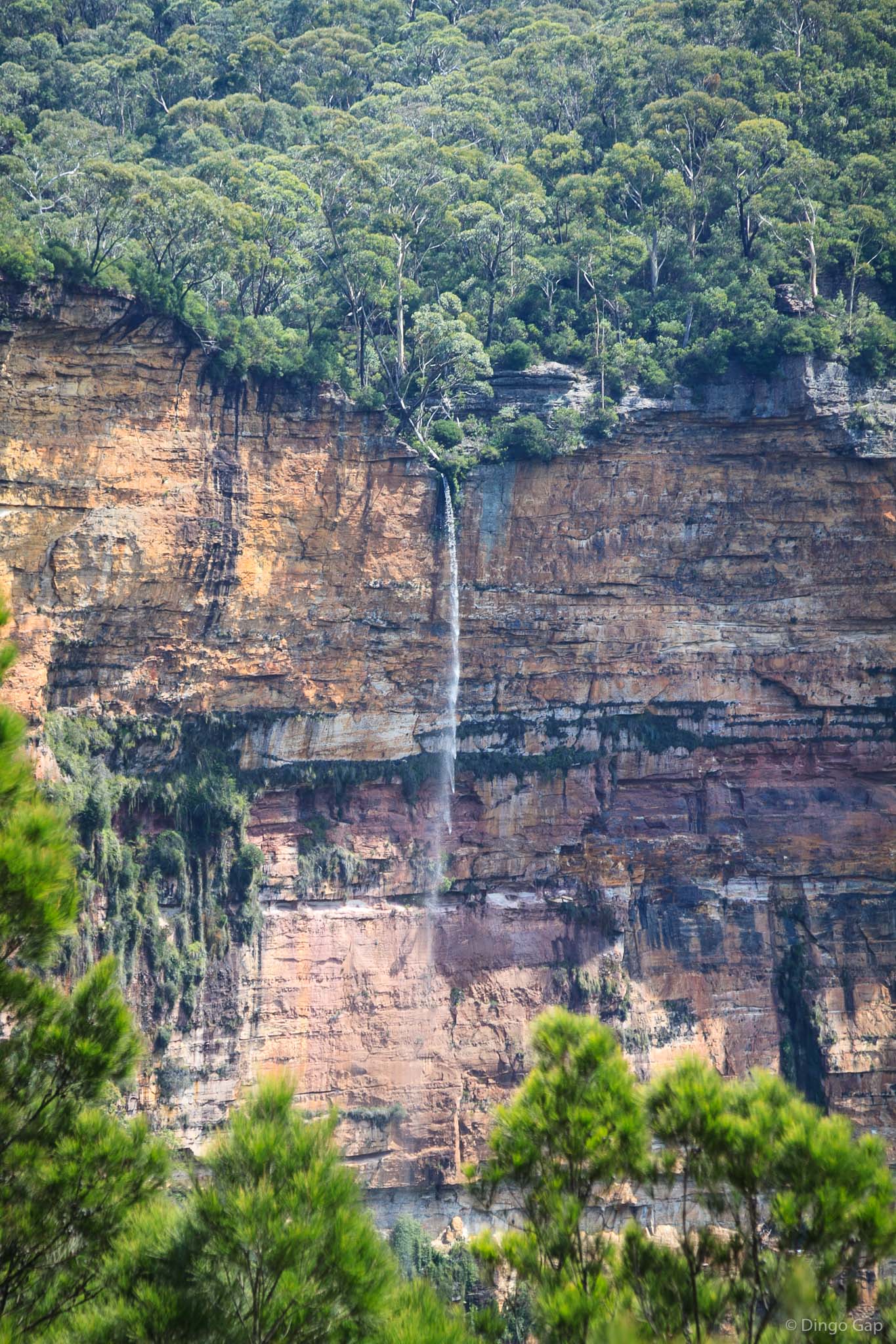
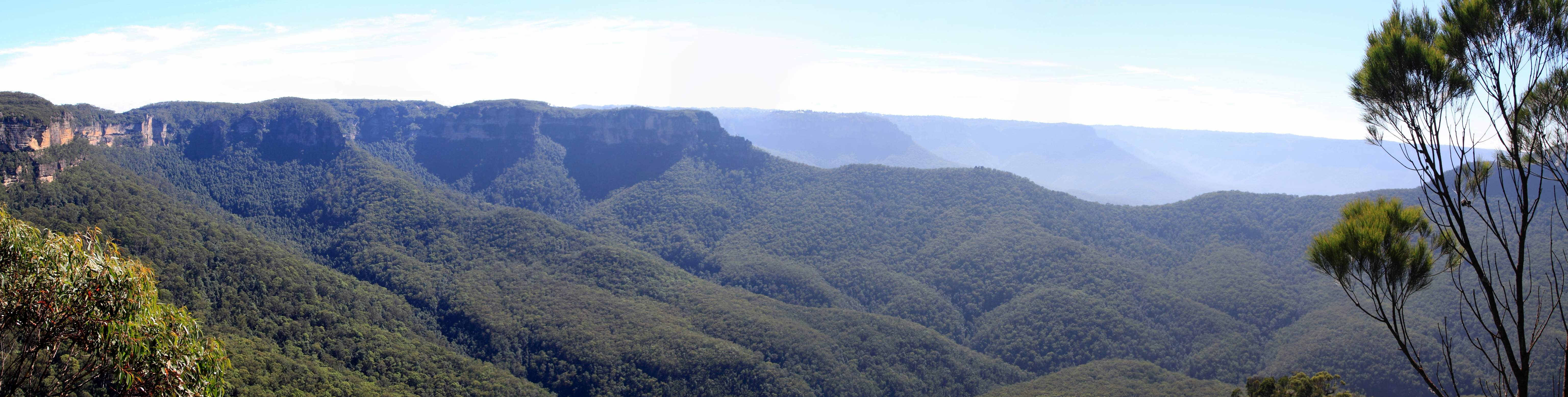
Cedar Head overlooks the Cedar Creek valley.
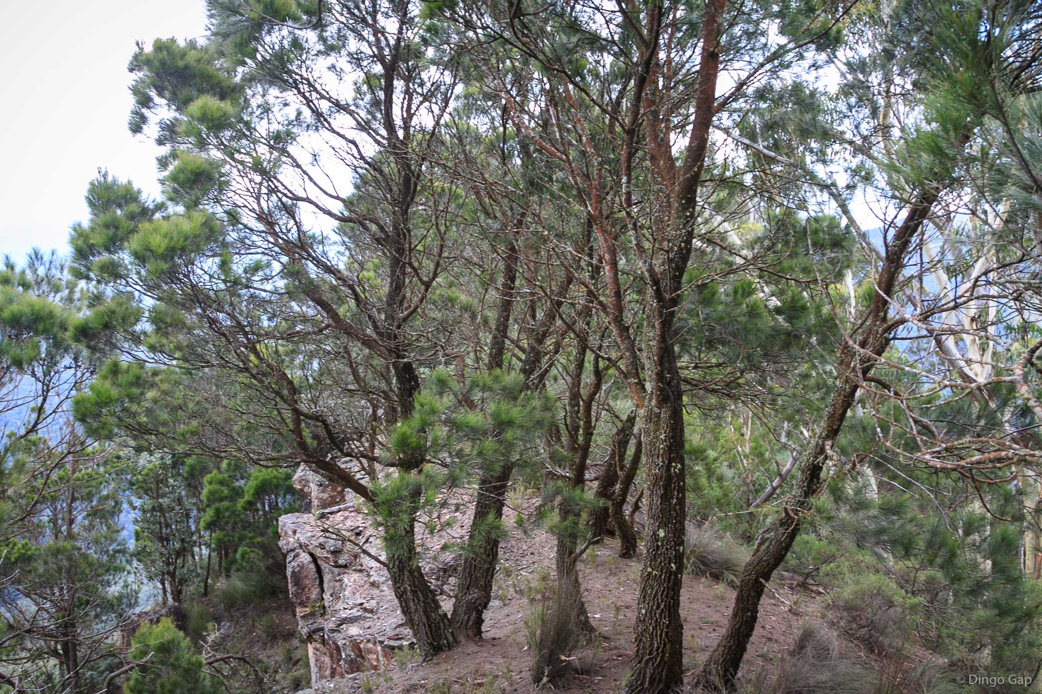
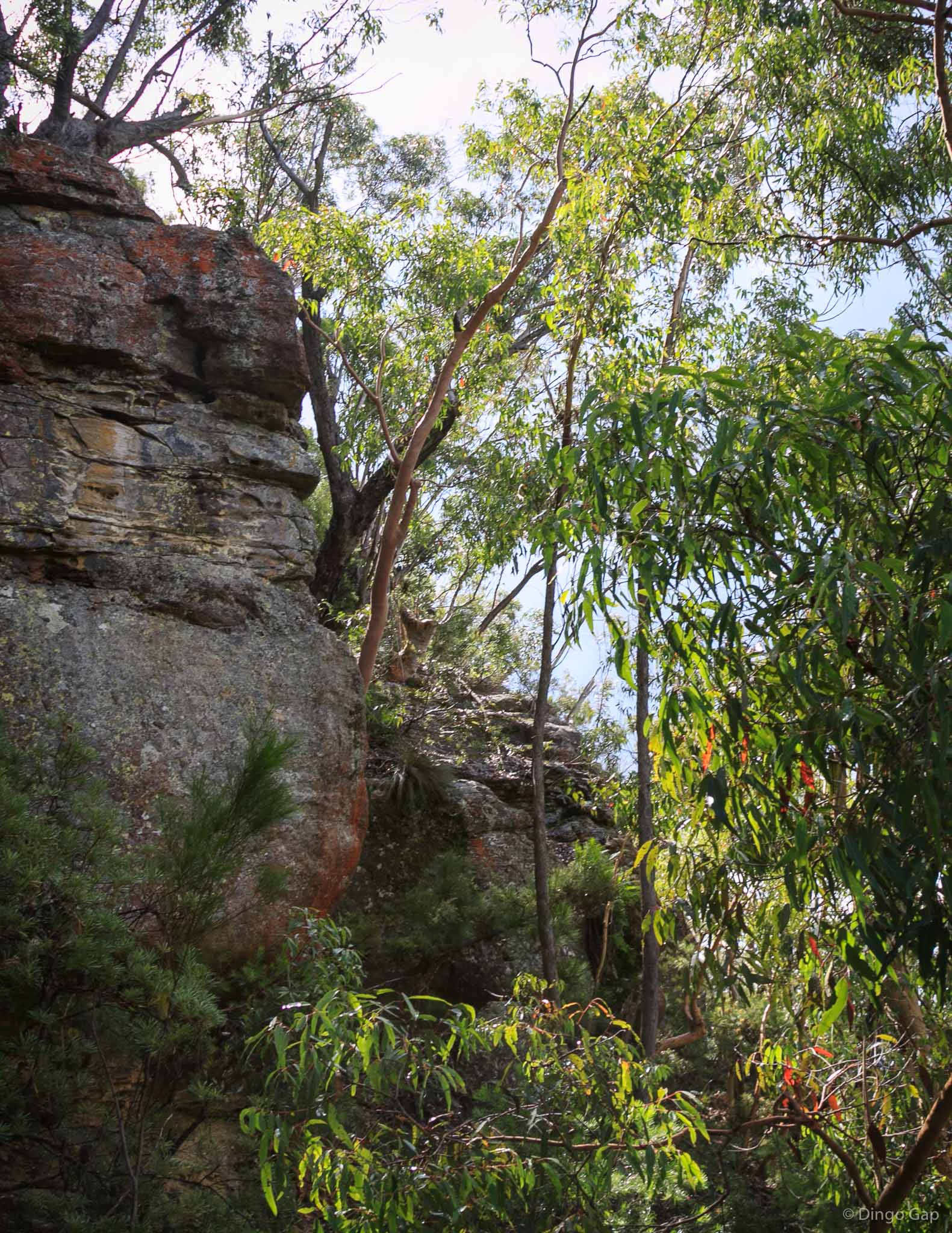
Walls Pass, a route through the cliff line linking Narrow Neck Plateau with the valley below, is a bit over 300 metres south of Cedar Head.
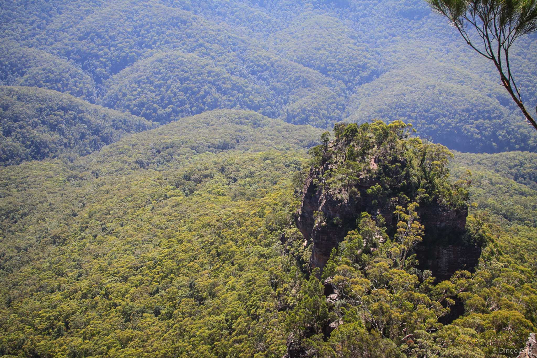
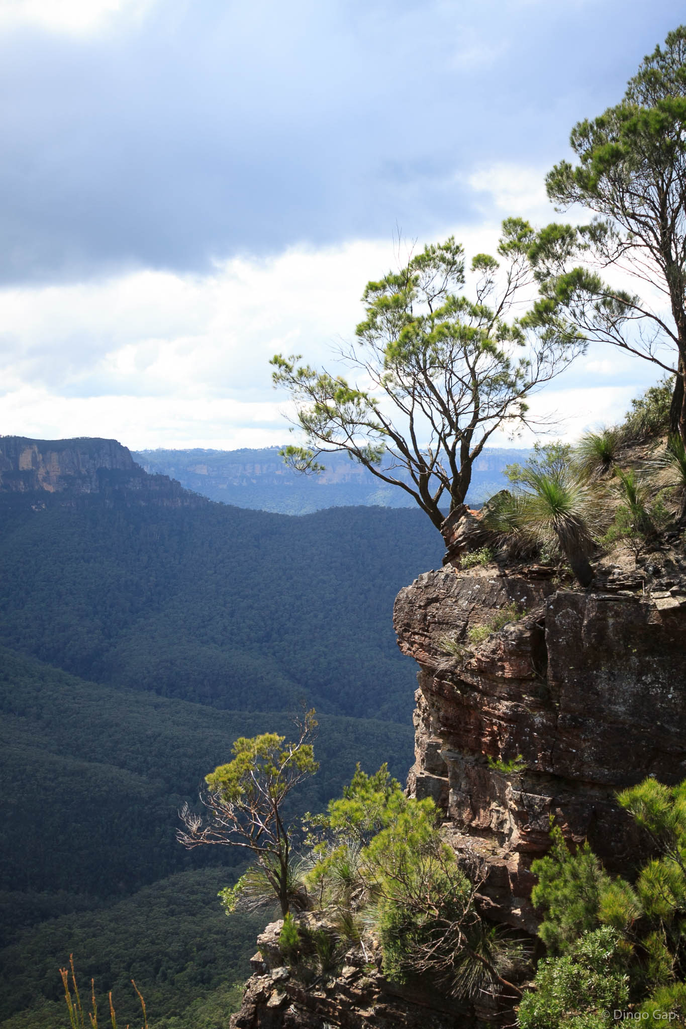
There are terrific views over the Cedar Creek Valley as well as Castle Head, Mt Solitary and the Ruined Castle from the cliffs at the top of Cedar Head.
The views from the lower section of Cedar Head make the effort of getting there well worth while.
Cedar Head was also called Red Head according to the Gangerang Map.
Gangerang (Dunphy)
Jamison 8930-2N
476 587
1000 metres
Red Head
Bluff
Blue Mountains National Park (NSW)
Megalong
Cook